✓ Museum-quality archival giclée · ✓ Framed or unframed · ✓ Printed to order · ✓ Buy any 3 prints, save 10%
Couldn't load pickup availability
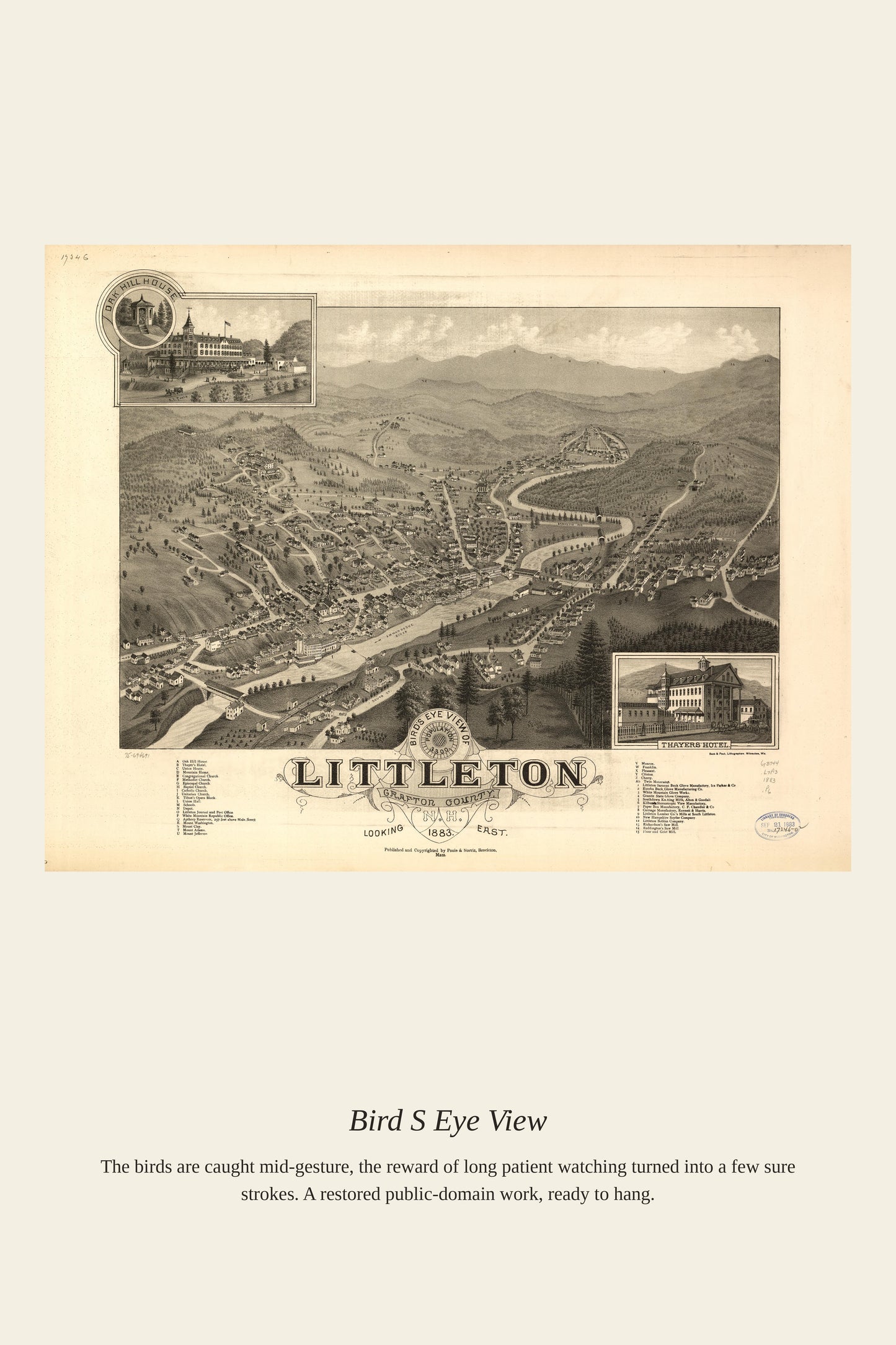
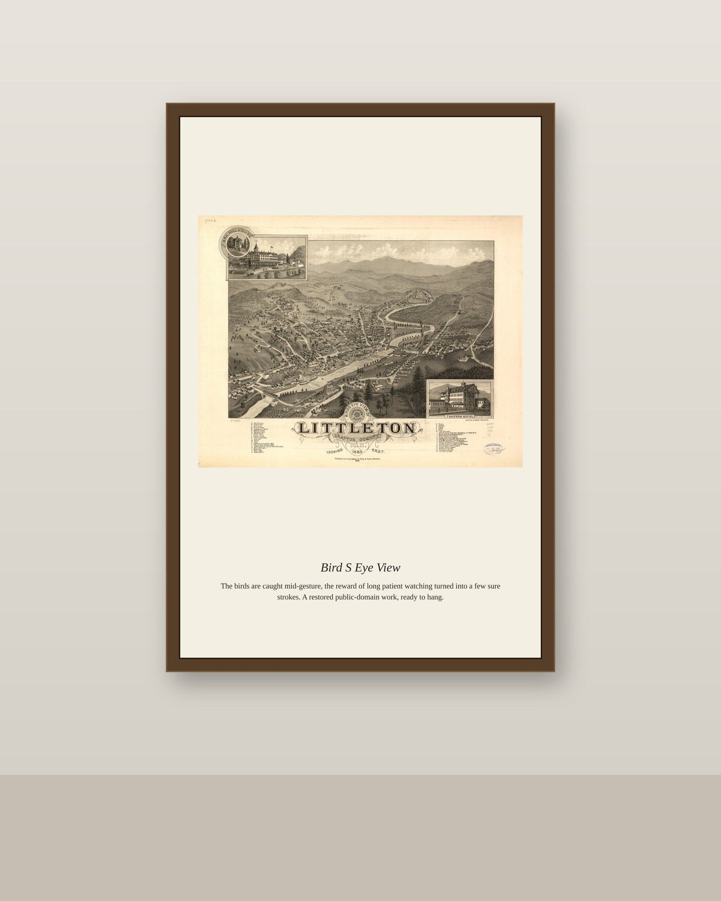
Bird's-eye-view maps were a distinctly North American cartographic genre that flourished between the 1840s and 1920s, portraying towns and cities from an imagined aerial vantage point decades before airplanes made true aerial photography possible. Itinerant artists produced them by sketching from hilltops and walking every street below, then working with lithographers to assemble a bustling, semi-accurate portrait of a community at a single moment. Civic pride and boosterism drove much of the demand, as local chambers of commerce commissioned these views to advertise their town's growth and prospects to the outside world.
Materials & origin
Material: 200 gsm gallery-grade, acid-free fine-art paper (FSC-certified).