✓ Museum-quality archival giclée · ✓ Framed or unframed · ✓ Printed to order · ✓ Buy any 3 prints, save 10%
Couldn't load pickup availability
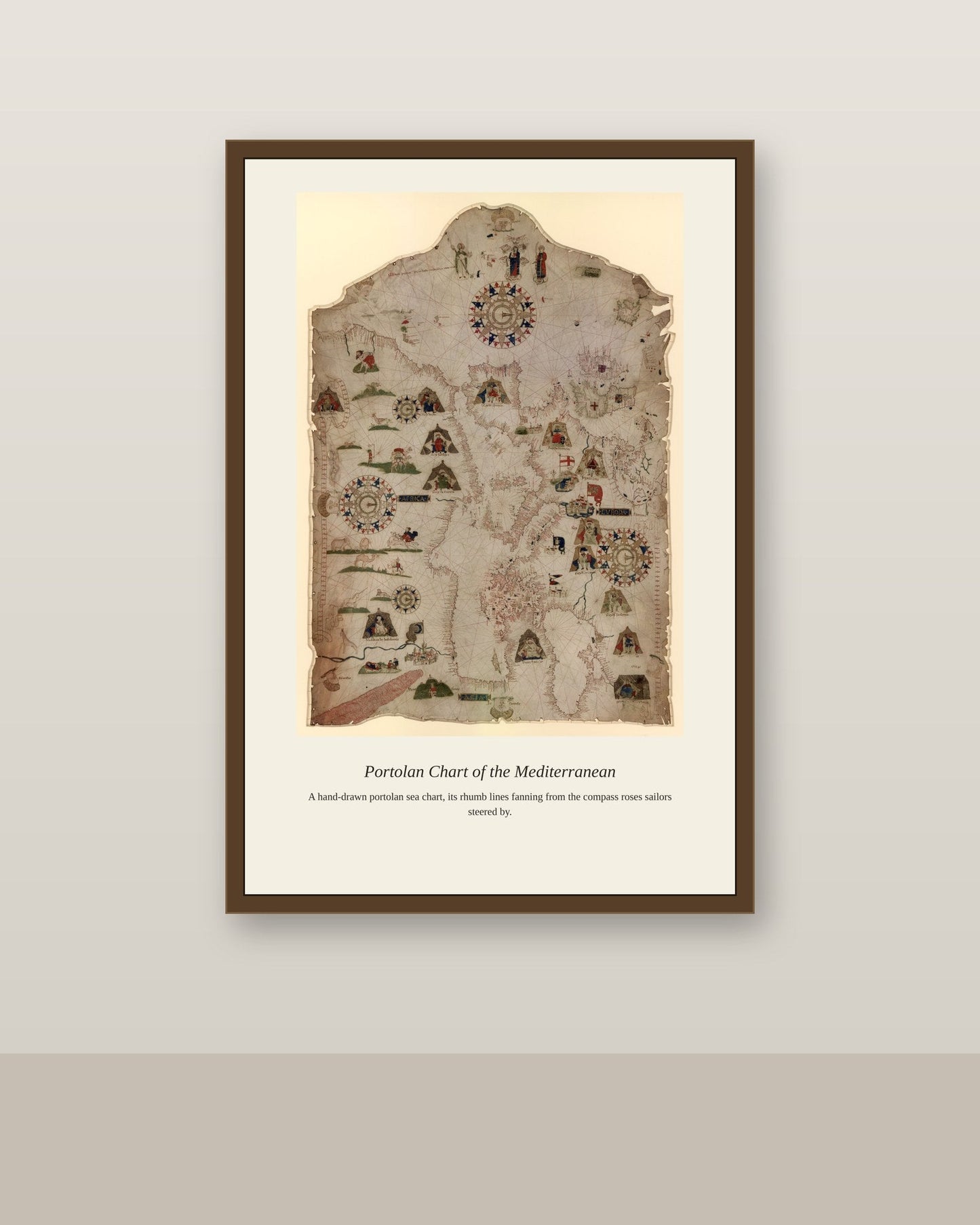
This chart spans two connected seas whose combined waters formed the commercial backbone of the classical and medieval Mediterranean world, from the grain trade that fed ancient Rome from ports on the Black Sea's northern shore to the Genoese and Venetian trading colonies that later controlled Black Sea commerce from fortified outposts like Caffa in Crimea. The narrow straits linking the two seas, the Dardanelles and Bosphorus, made whoever controlled Constantinople the gatekeeper of this entire trade network. Mapping both seas on one chart let merchants and naval planners see the full extent of a trading and strategic zone that shaped the fortunes of empires for over two thousand years.
Materials & origin
Material: 200 gsm gallery-grade, acid-free fine-art paper (FSC-certified).