✓ Museum-quality archival giclée · ✓ Framed or unframed · ✓ Printed to order · ✓ Buy any 3 prints, save 10%
Couldn't load pickup availability
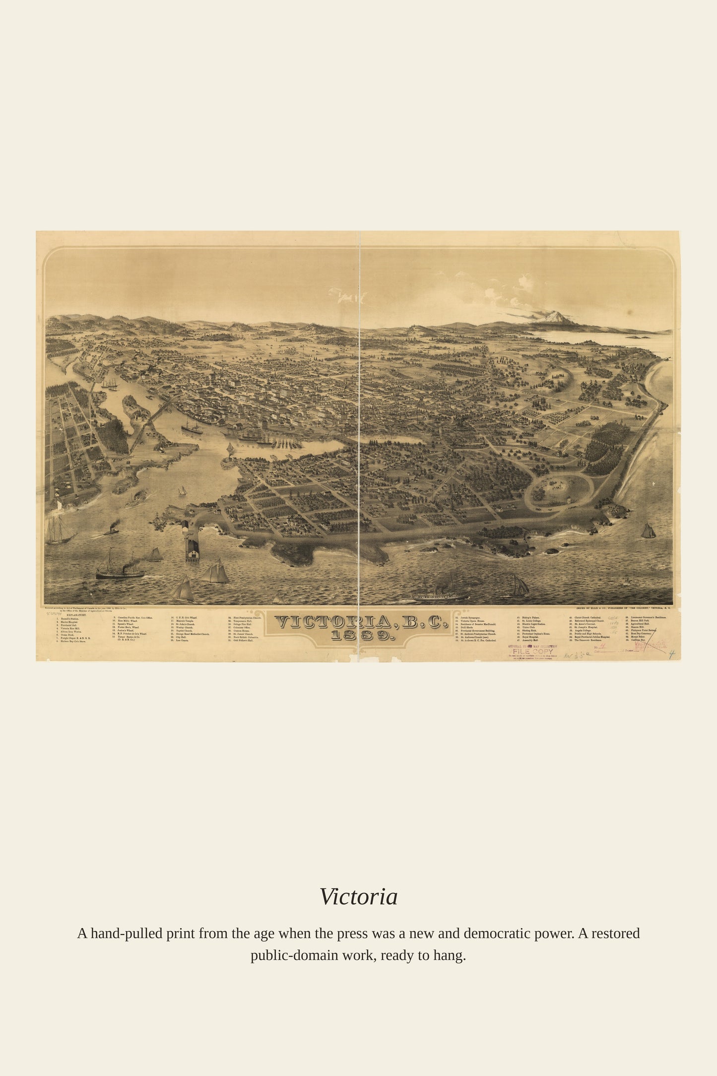
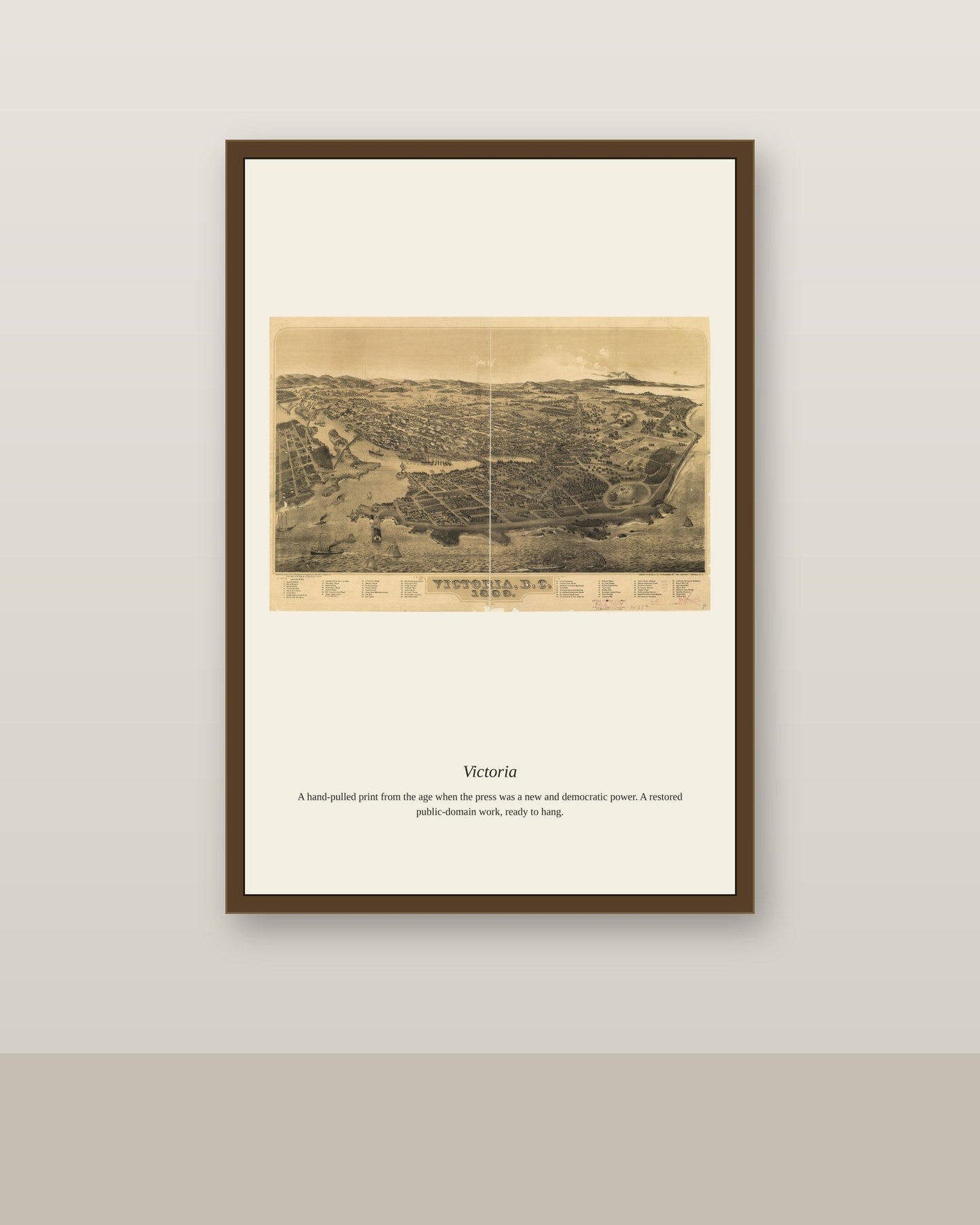
Victoria, British Columbia, was surveyed as a Hudson's Bay Company trading post in 1843 and grew rapidly after gold was discovered in the Fraser Canyon in 1858, becoming the capital of the new colony of British Columbia. Its harbor setting on the southern tip of Vancouver Island made it a natural subject for the bird's-eye-view panoramic maps popular in the late 19th century, with detailed perspective views published in 1860, 1878, and 1889 charting the young city's growth. These panoramas doubled as civic advertisements, showcasing Victoria's streets, wharves, and public buildings to prospective settlers and investors.
Materials & origin
Material: 200 gsm gallery-grade, acid-free fine-art paper (FSC-certified).