


1500s Kunstmann II Portolan — Antique Nautical Chart Print
1500s Kunstmann II Portolan — Antique Nautical Chart Print
Couldn't load pickup availability
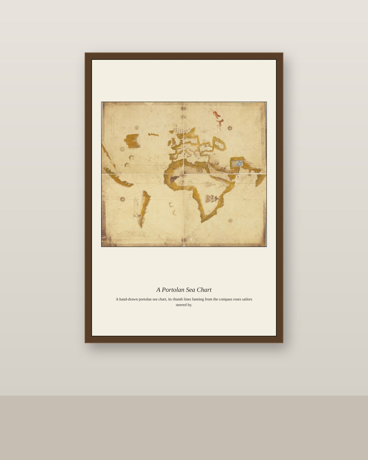
This chart belongs to the Kunstmann atlas, a group of early Portuguese-derived nautical charts named for the 19th-century German historian Friedrich Kunstmann, who first catalogued them. Kunstmann II, sometimes called the "Four Finger Map" for the shape of its coastal outlines, was copied by an Italian cartographer from a Portuguese original around 1502 to 1506, making it one of the earliest surviving charts to reflect the first wave of European contact with the Americas. Charts like this one are prized by historians precisely because so few original Portuguese exploration-era charts survived the 1755 Lisbon earthquake and fire, which destroyed much of Portugal's early cartographic archive.
Materials & origin
- Material: 200 gsm gallery-grade, acid-free fine-art paper (FSC-certified).
- Print: Archival giclée, 12-colour printing, smooth matte finish for glare-free display.
- Artwork: Restored from a public-domain original; colour and detail digitally cleaned for large-format print.
- Origin: Made on demand and shipped from the print hub nearest you, cutting transit and waste.
- Framing: Sold unframed; ships rolled in a protective tube.
Share


As Featured In





It came packed so well that opening it took ten minutes. The colors in 1500s Kunstmann II Portolan are richer than any version I found online. Thank you for making something this good.
Everything about this went better than I hoped. The materials are noticeably better than the last two things I ordered online. This old rowhouse has settled every which way, and it still looks right where I put it. I would pay more and still feel good about it.
The whole experience was smooth from checkout to delivery. I keep noticing new corners of 1500s Kunstmann II Portolan weeks later.
This has gotten more compliments than anything else we own. Nearly perfect, and I am not complaining.