✓ Museum-quality archival giclée · ✓ Framed or unframed · ✓ Printed to order · ✓ Buy any 3 prints, save 10%
Couldn't load pickup availability
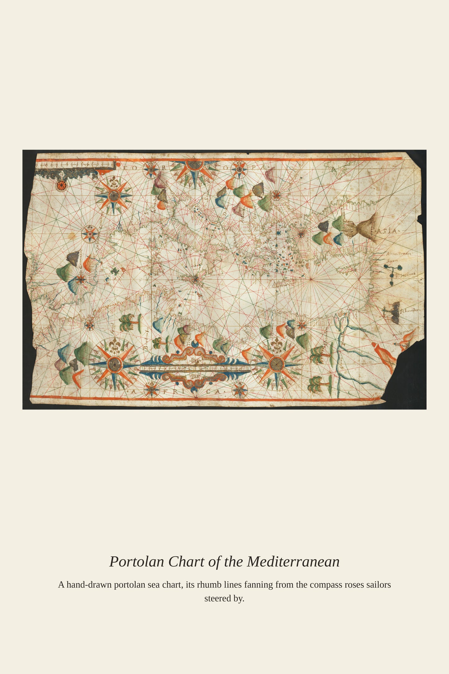
By the 17th century, portolan charts had reached the height of their technical refinement, even as the printed, mathematically projected maps of Mercator and his successors were beginning to challenge their dominance for open-ocean navigation. Chartmakers in workshops from Genoa to Marseille to Majorca continued to produce these hand-drawn charts on vellum, prized by working sailors for their accurate coastal detail even as they fell out of fashion among scholars and collectors who increasingly favored printed atlases. A 17th-century portolan chart represents this transitional moment, a craft tradition stretching back to the 1300s still serving practical navigation even as the modern age of cartography was taking shape around it.
Materials & origin
Material: 200 gsm gallery-grade, acid-free fine-art paper (FSC-certified).