


A T Andreas Illustrated Historical Atlas — Antique Map Print
A T Andreas Illustrated Historical Atlas — Antique Map Print
Couldn't load pickup availability
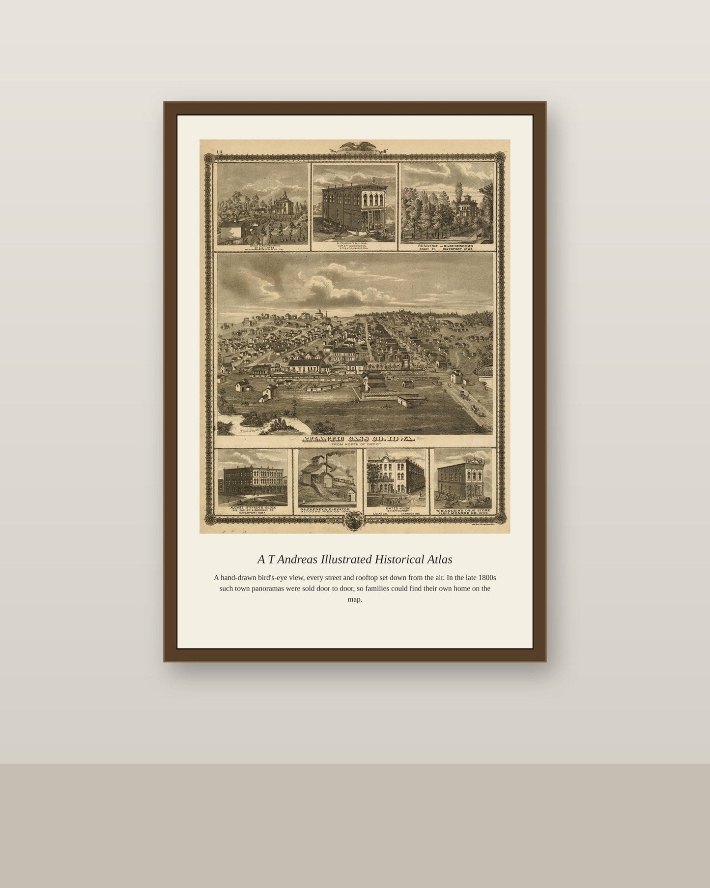
Alfred Theodore Andreas built a publishing empire in the 1870s and 1880s producing enormous illustrated historical atlases of Midwestern states, most famously Minnesota, Iowa, and Nebraska, combining detailed county maps with local histories and engraved views of farms and townspeople. Andreas employed teams of traveling agents to sell subscriptions door to door across each state before a single map was printed, guaranteeing enough buyers to fund the atlas's enormous production costs. His atlases remain some of the most valuable surviving records of Midwestern settlement in the decades after the Civil War, capturing communities and family names that might otherwise have gone undocumented.
Materials & origin
- Material: 200 gsm gallery-grade, acid-free fine-art paper (FSC-certified).
- Print: Archival giclée, 12-colour printing, smooth matte finish for glare-free display.
- Artwork: Restored from a public-domain original; colour and detail digitally cleaned for large-format print.
- Origin: Made on demand and shipped from the print hub nearest you, cutting transit and waste.
- Framing: Sold unframed; ships rolled in a protective tube.
Share



As Featured In





The shipping was fast and the packing was better than most furniture I have bought. It brings out parts of A T Andreas I have never seen reproduced this well. Buy it, you will not regret it.
This is exactly what I was looking for, and I looked for a long time. The clarity of A T Andreas makes it look like the original was photographed yesterday. It arrived a full day ahead of the estimate. The doorman held it for two days and it came through fine.
My whole family has opinions about the house and everyone agreed on this one. The tones across A T Andreas are even and true right to the corners. The quality would hold up next to things costing three times as much. The finish is even and flawless right to the edges. I would order this again tomorrow.
The detail is genuinely impressive for what I paid. The tones across A T Andreas are even and deep. I ordered on a Sunday night and it shipped Monday morning. There is a small imperfection near one edge that I have decided to like.
Good value for something this size…