


An Illustrated Historical Atlas of the State — Antique Map Print
An Illustrated Historical Atlas of the State — Antique Map Print
Couldn't load pickup availability
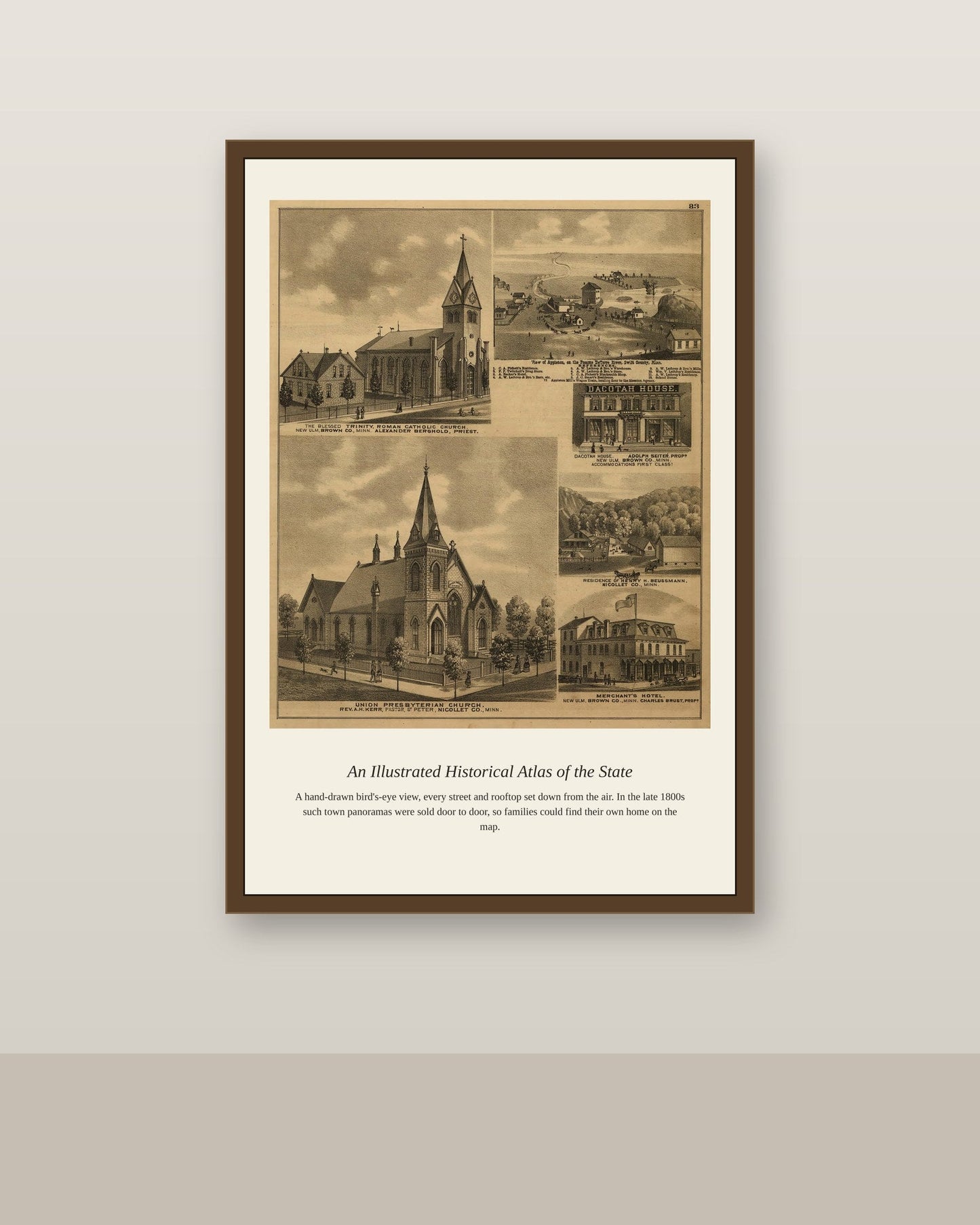
Illustrated historical atlases were a distinctly American publishing phenomenon of the 1870s and 1880s, combining detailed county-by-county maps with local histories, biographical sketches, and engraved views of prominent farms and businesses, all funded by subscriptions from the very residents being documented. A state atlas of this kind might run to hundreds of pages, mapping every township down to individual property lines and the names of landowners, alongside statistics on population, agriculture, and industry. These atlases were produced during a wave of civic self-documentation that swept the country after the Civil War, and today they remain an essential resource for genealogists and local historians tracing 19th-century communities.
Materials & origin
- Material: 200 gsm gallery-grade, acid-free fine-art paper (FSC-certified).
- Print: Archival giclée, 12-colour printing, smooth matte finish for glare-free display.
- Artwork: Restored from a public-domain original; colour and detail digitally cleaned for large-format print.
- Origin: Made on demand and shipped from the print hub nearest you, cutting transit and waste.
- Framing: Sold unframed; ships rolled in a protective tube.
Share


As Featured In





It went exactly where I planned and needed no adjusting at all. The scan behind A Illustrated Historical Atlas of the State is clean, with no obvious artifacts.
The shipping was fast and the packing was better than most furniture I have bought. It has made me a repeat customer already.
My honest reaction when I opened it was a shrug. The detail in A Illustrated Historical Atlas of the State holds up at a distance and softens if you come closer. The shipping cost more than I expected at checkout. The reproduction is clean in the middle and softer toward the edges.
This is the second thing I have bought here and both have been good. The colors in A Illustrated Historical Atlas of the State came through almost exactly as I hoped. Easy recommendation, with a small caveat about the price.
This is my fourth order from this shop and the standard has not slipped once. My daughter recognized A Illustrated Historical Atlas of the State from her art class and was thrilled. Buy it, you will not regret it.