✓ Museum-quality archival giclée · ✓ Framed or unframed · ✓ Printed to order · ✓ Buy any 3 prints, save 10%
Couldn't load pickup availability
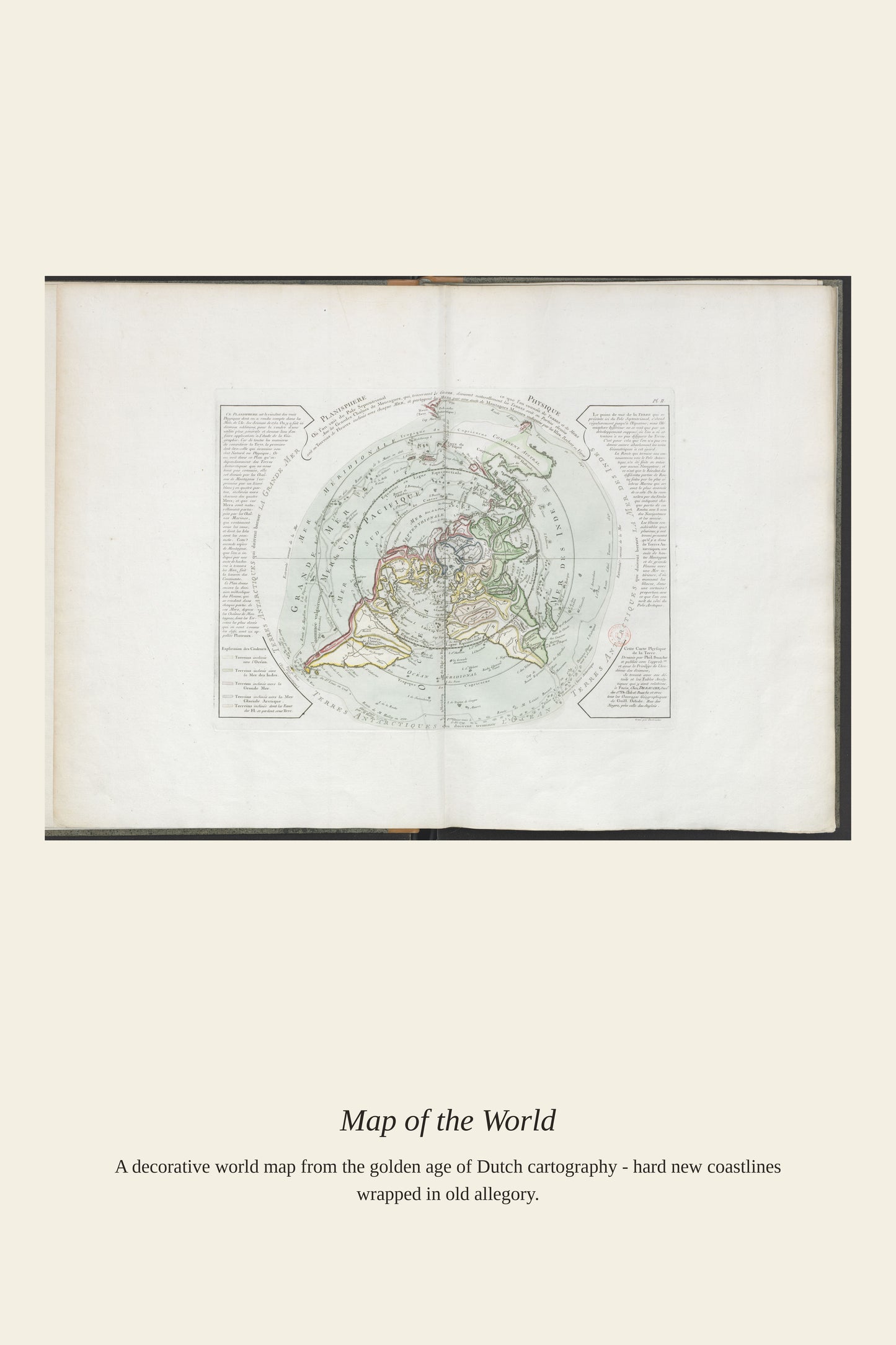
"The four parts of the world" was the standard European geographic framework from the 16th through the 18th centuries, dividing the globe into Europe, Asia, Africa, and America, a scheme that persisted even as explorers steadily filled in the details of each continent's coastlines and interiors. An atlas built around this four-part division was meant as a complete geographic education in a single volume, typically opening with a world map before proceeding continent by continent. The framework reveals as much about how Europeans organized and understood the world as it does about the geography itself, treating the vast Pacific and the still-unmapped interior of Australia as afterthoughts to the four named parts.
Materials & origin
Material: 200 gsm gallery-grade, acid-free fine-art paper (FSC-certified).