✓ Museum-quality archival giclée · ✓ Framed or unframed · ✓ Printed to order · ✓ Buy any 3 prints, save 10%
Couldn't load pickup availability
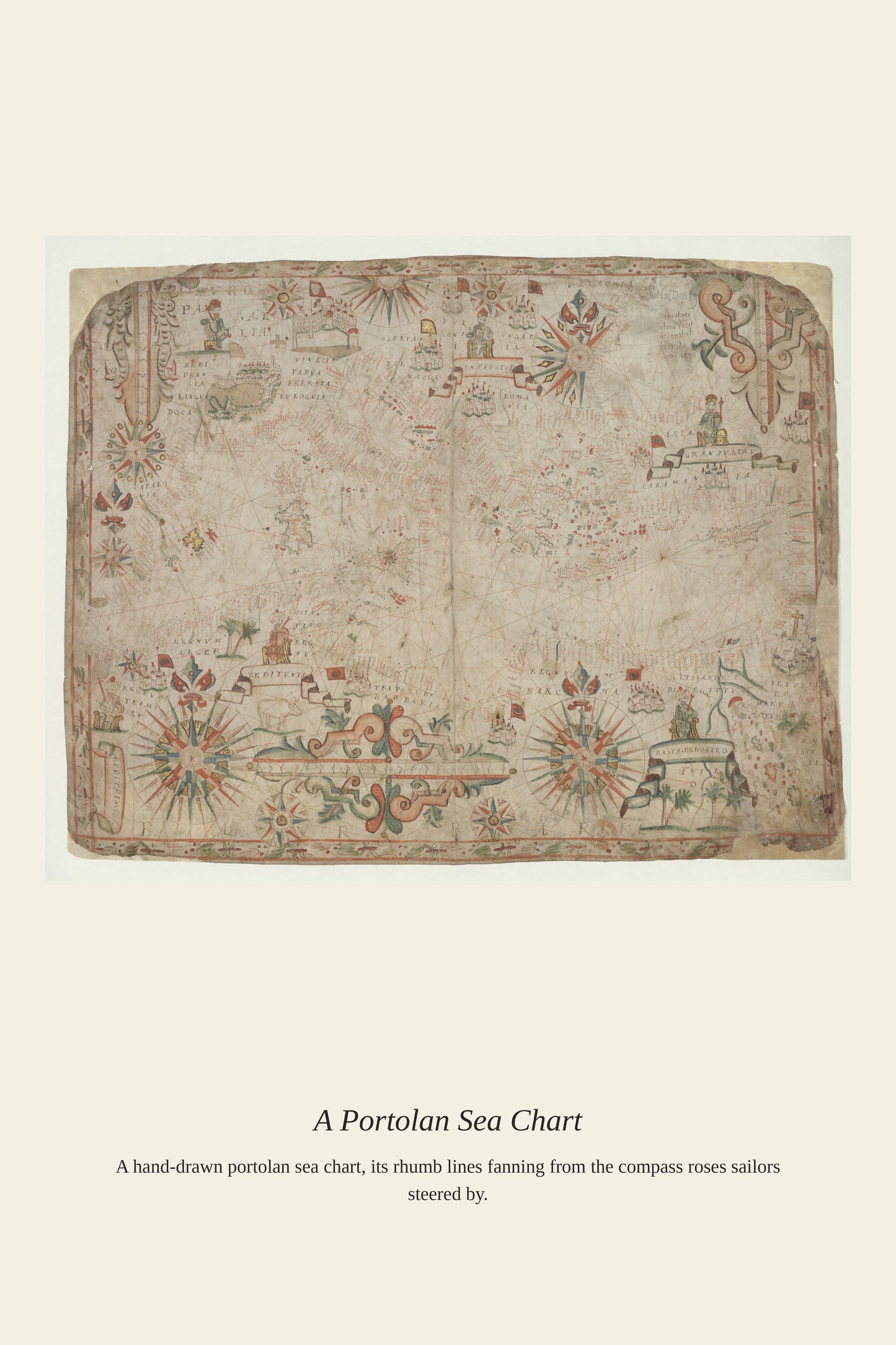
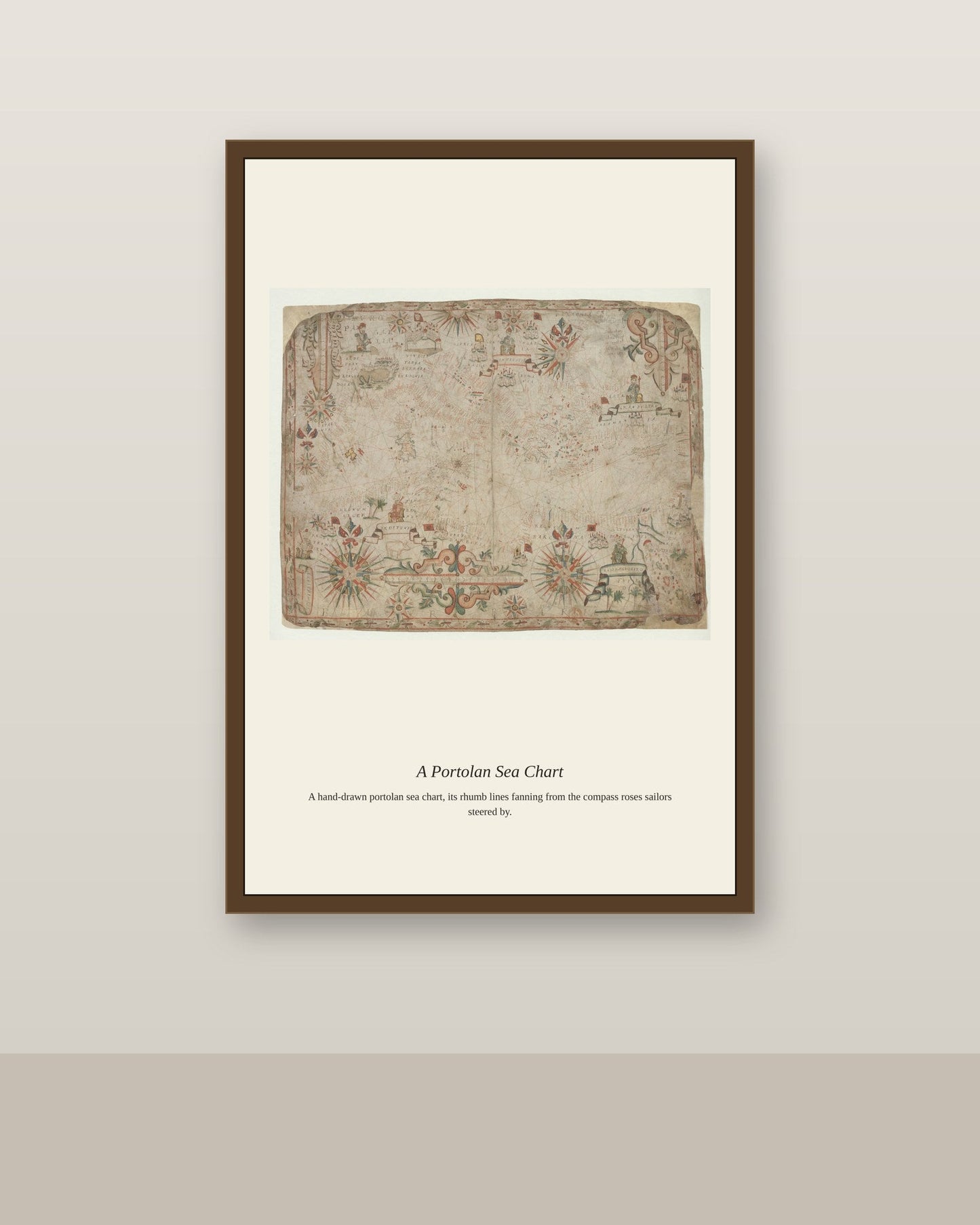
A nautical atlas of the Mediterranean gathered dozens of individual portolan-style charts into a single working volume, letting a ship's navigator move from the Strait of Gibraltar to the eastern Levant without needing separate loose sheets for each stretch of coast. These atlases descended directly from the medieval portolan tradition centered in Genoa, Venice, and Majorca, but by binding multiple charts together they became more practical reference works for merchant captains sailing the length of the sea. The Mediterranean's dense network of islands, peninsulas, and city-states made it the most thoroughly and repeatedly charted body of water in the pre-modern world.
Materials & origin
Material: 200 gsm gallery-grade, acid-free fine-art paper (FSC-certified).