✓ Museum-quality archival giclée · ✓ Framed or unframed · ✓ Printed to order · ✓ Buy any 3 prints, save 10%
Couldn't load pickup availability
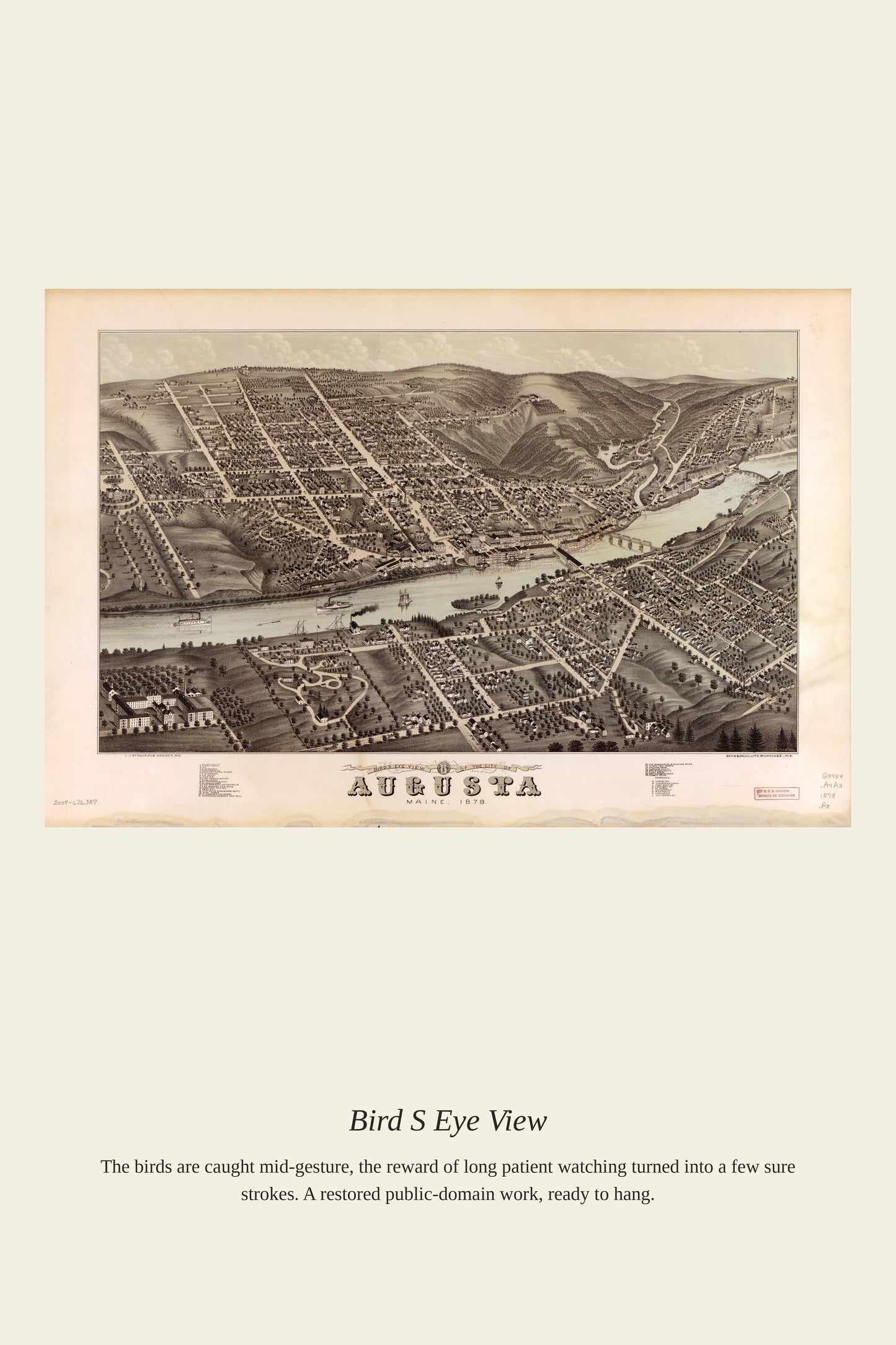
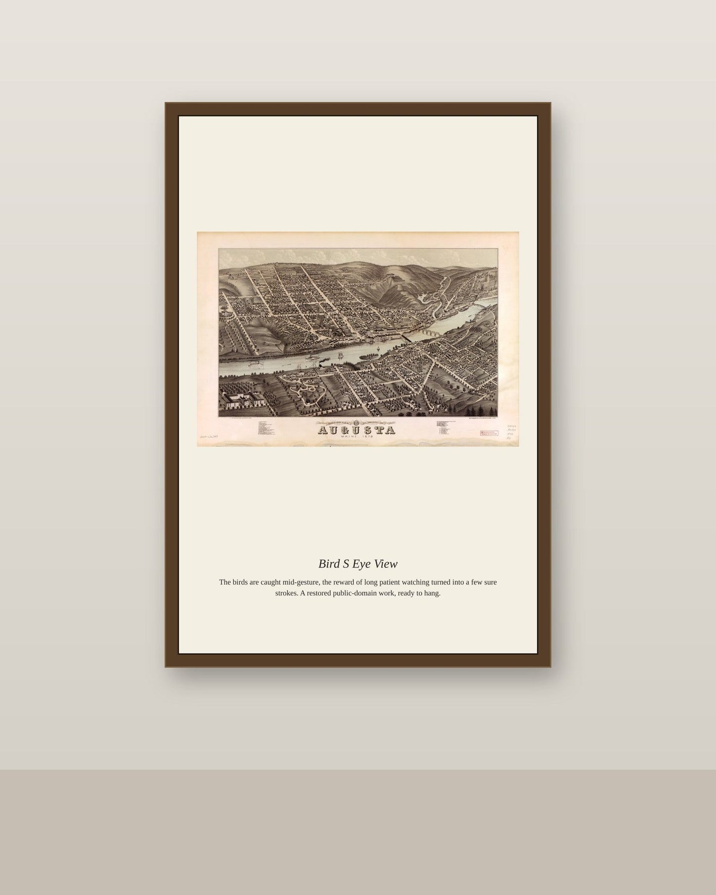
Between the Civil War and the First World War, hundreds of American and Canadian towns commissioned bird's-eye-view maps to capture their communities from a bird's imagined vantage point, part civic record and part promotional poster. Traveling map artists would spend days walking a town's streets, sketching each building before assembling the pieces into one sweeping panorama for the lithographer's press. These maps sold briskly to residents proud of their growing hometown and to boosters hoping to lure new settlers and businesses westward.
Materials & origin
Material: 200 gsm gallery-grade, acid-free fine-art paper (FSC-certified).