


Bird's Eye View (12) — Antique Map Print
Bird's Eye View (12) — Antique Map Print
Couldn't load pickup availability
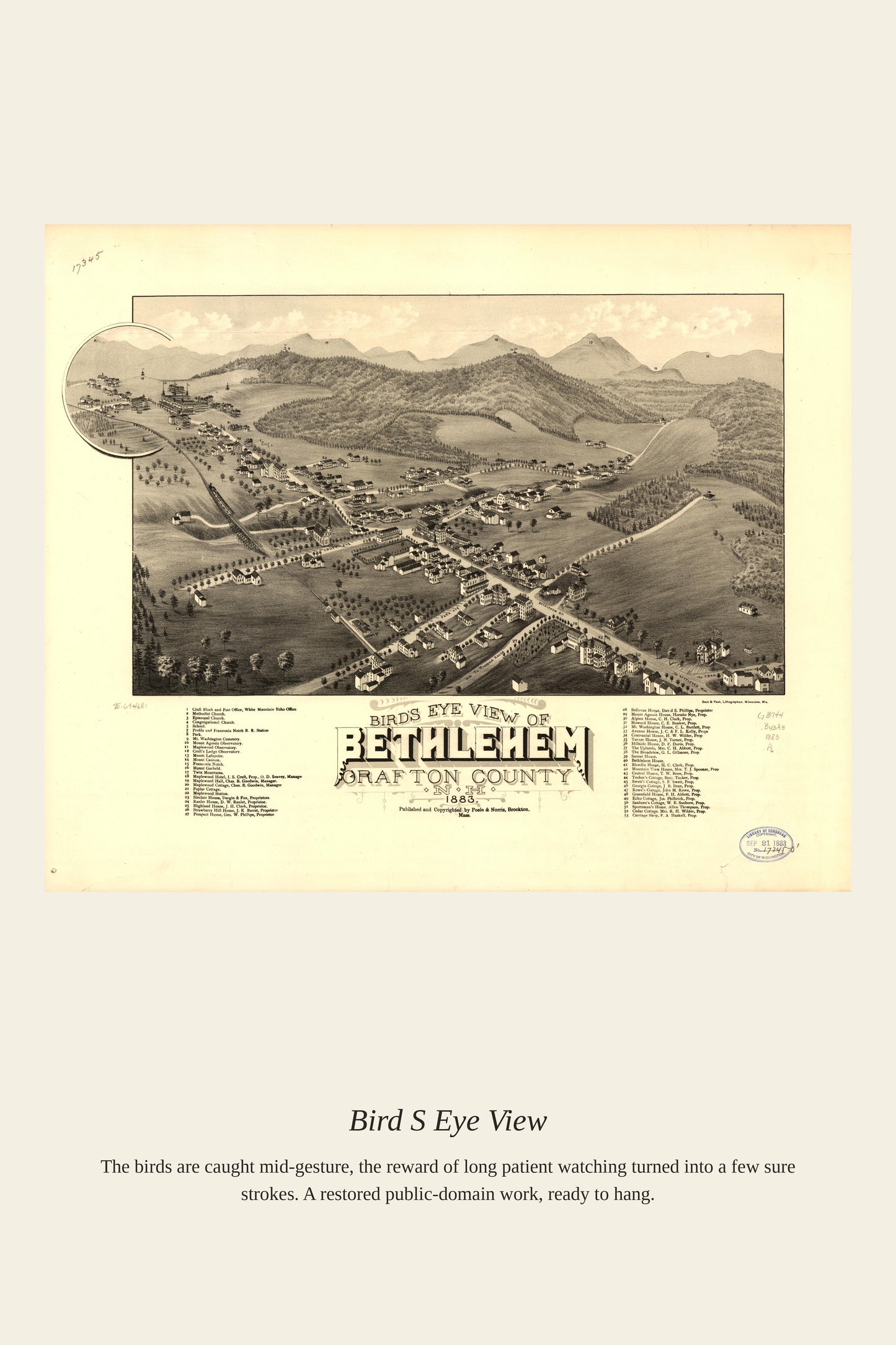
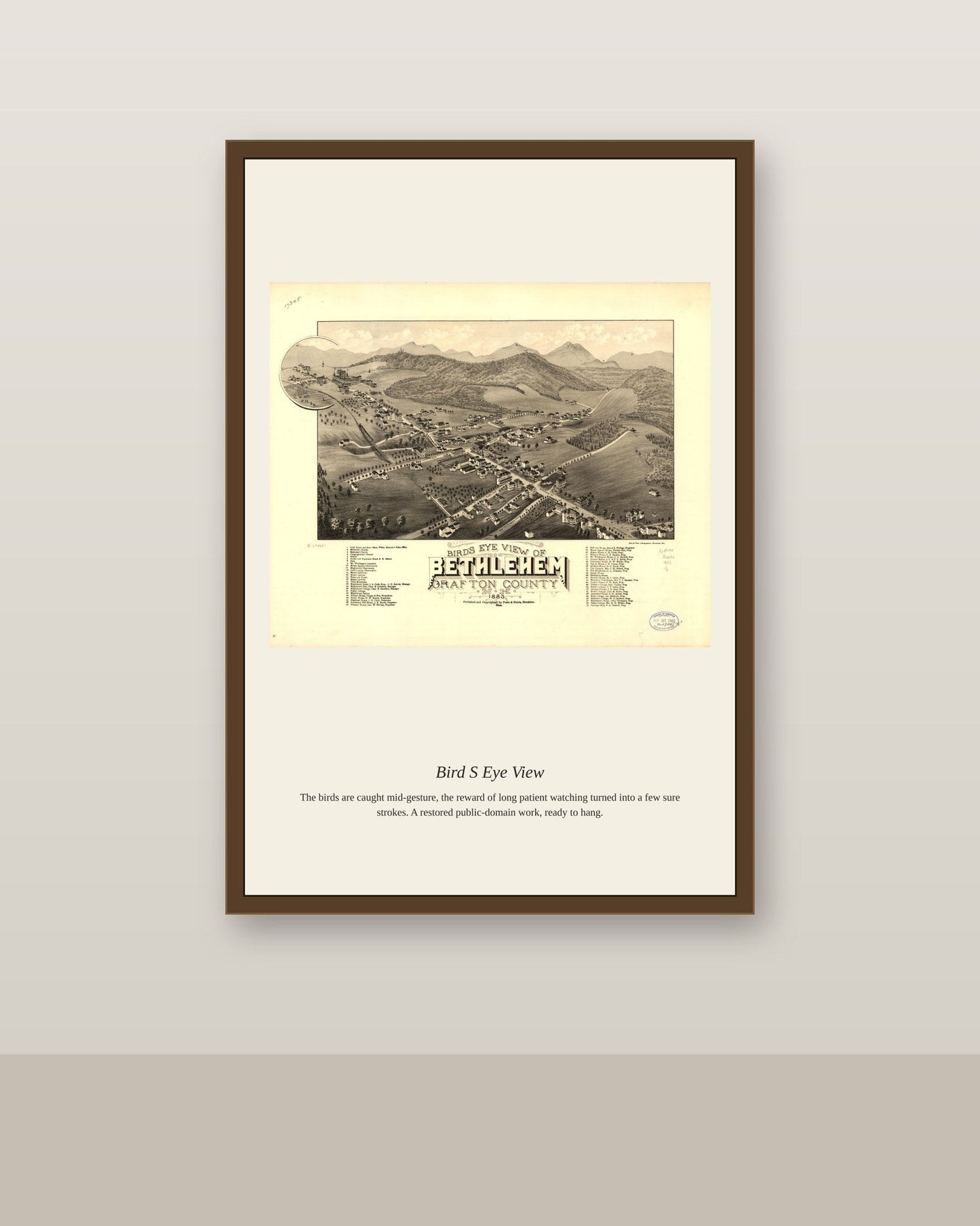
Unlike the more precise Renaissance city views of Europe, American bird's-eye-view maps of the 19th century were built from an elevated, oblique perspective that let a single sheet show every street, building, and factory in a town at once. Artists worked from hilltop vantage points and ground-level surveys, then handed their sketches to lithographers who could print inexpensive copies for eager local buyers. The genre was almost entirely a North American phenomenon, and it declined quickly after true aerial photography emerged in the 1920s and made the hand-drawn panorama obsolete.
Materials & origin
- Material: 200 gsm gallery-grade, acid-free fine-art paper (FSC-certified).
- Print: Archival giclée, 12-colour printing, smooth matte finish for glare-free display.
- Artwork: Restored from a public-domain original; colour and detail digitally cleaned for large-format print.
- Origin: Made on demand and shipped from the print hub nearest you, cutting transit and waste.
- Framing: Sold unframed; ships rolled in a protective tube.
Share


As Featured In





It made the living room feel finished in a way I could not manage on my own. The detail in Bird's Eye View holds up with my face inches away. This old rowhouse has settled every which way, and it still looks right where I put it.
The customer service here answered me on a Sunday. The shading in Bird's Eye View has a depth I never noticed in books. My neighbor liked it enough that she ordered one for her own place. The seller replied to my question in under a hour.
It arrived four days after I ordered and in perfect shape. The tones across Bird's Eye View are even and deep. I have my eye on a second one.
Thanks for this. Happy the colors landed the way they should, since that is the part we fuss over most.