


Buddhist Map of the World — Antique World Map Print
Buddhist Map of the World — Antique World Map Print
Couldn't load pickup availability
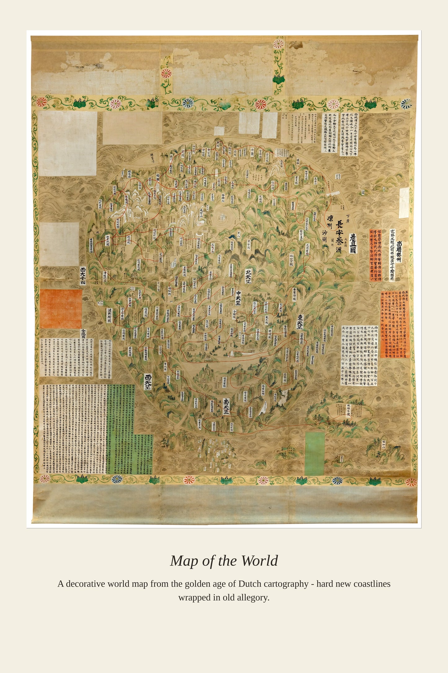
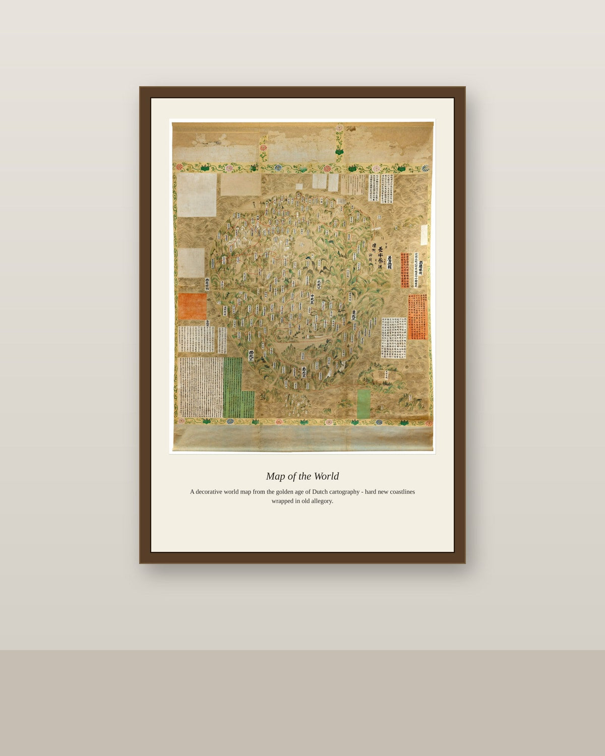
This map descends from the Nansenbushu Bankoku Shoka no Zu, the first Japanese printed map to depict the entire world according to Buddhist cosmology, composed by the Buddhist monk-scholar Zuda Rokashi Hotan and first published in 1710. Rather than following contemporary European geography, the map centers the world on Lake Manasarovar in Tibet, near the mythical Mount Sumeru at the heart of the Buddhist cosmos, while still incorporating China, India, Japan, and even Europe and the Americas within its square-shaped earth. Hotan drew on Chinese travel narratives, ancient religious texts, and some borrowed European cartography to reconcile centuries of Buddhist cosmological tradition with the geographic knowledge reaching Japan by the early 18th century.
Materials & origin
- Material: 200 gsm gallery-grade, acid-free fine-art paper (FSC-certified).
- Print: Archival giclée, 12-colour printing, smooth matte finish for glare-free display.
- Artwork: Restored from a public-domain original; colour and detail digitally cleaned for large-format print.
- Origin: Made on demand and shipped from the print hub nearest you, cutting transit and waste.
- Framing: Sold unframed; ships rolled in a protective tube.
Share


As Featured In





It came packed so well that opening it took ten minutes. The colors in Buddhist Map of the World are richer than any version I found online.
Thank you so much, this made our morning. Enjoy it, and send a photo if you ever feel like it.
This shop does everything right, from checkout to delivery. I have been hunting for a good version of Buddhist Map of the World for two years. Our winters are long here and this has made the room feel a lot less bleak.
I have had it a month and I am still not happy with it. Anyone who knows Buddhist Map of the World well will spot the difference right away.
You are right to be frustrated, and I apologize for the silence on our end. Our inbox had a filtering problem last month and we are still digging out of it. Reply here and we will take care of you.
This shop does everything right, from checkout to delivery. Everything that makes Buddhist Map of the World special survived the reproduction. It came through a summer of wildfire smoke and open windows with no smell at all. One very happy customer here.
The detail is unbelievable for the price. It brings out parts of Buddhist Map of the World I have never seen reproduced this well. My neighbor liked it enough that she ordered one for her own place. Perfect from start to finish.