


Map of the Central Mediterranean — Antique Art Print
Map of the Central Mediterranean — Antique Art Print
Couldn't load pickup availability
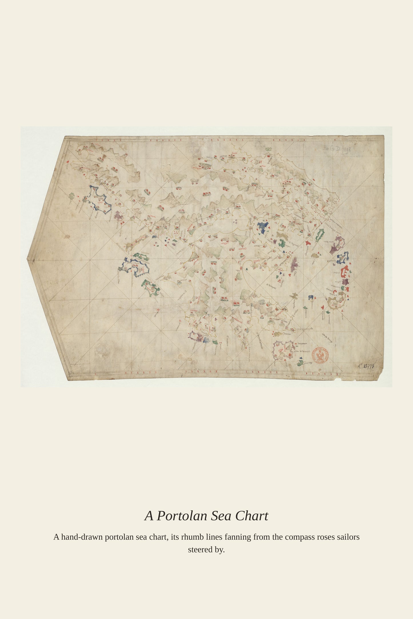
The central Mediterranean, the stretch of sea between Sicily, Tunisia, and Malta, was one of the most heavily trafficked and contested waters in the ancient and early modern world, a narrow passage that every fleet moving between the eastern and western basins had to cross. Its scattering of islands, shoals, and narrow straits made it a particularly demanding stretch to chart accurately, rewarding the generations of Italian and Catalan cartographers who built up the portolan tradition through careful observation passed from sailor to sailor. Charts of this stretch of sea were essential reading for any captain moving goods, or fleets, between Europe's Mediterranean powers.
Materials & origin
- Material: 200 gsm gallery-grade, acid-free fine-art paper (FSC-certified).
- Print: Archival giclée, 12-colour printing, smooth matte finish for glare-free display.
- Artwork: Restored from a public-domain original; colour and detail digitally cleaned for large-format print.
- Origin: Made on demand and shipped from the print hub nearest you, cutting transit and waste.
- Framing: Sold unframed; ships rolled in a protective tube.
Share


As Featured In





I have bought three of these now for different rooms. The detail in Map of the Central Mediterranean holds up with my face inches away. It survived a move from Ohio to Michigan in the back of a pickup.
My husband spotted this months ago and I finally gave in. Everything that makes Map of the Central Mediterranean special survived the reproduction. The paper on this print is thick and slightly textured, exactly what I wanted. My partner is hard to impress and even he was taken with it.
The customer service here answered me on a Sunday…
The colors are richer in person than they look on a screen. My daughter recognized Map of the Central Mediterranean from her art class and was thrilled.
It looks like something out of a museum shop, in the best possible way. My guests ask about Map of the Central Mediterranean before anything else in the house.