✓ Museum-quality archival giclée · ✓ Framed or unframed · ✓ Printed to order · ✓ Buy any 3 prints, save 10%
Couldn't load pickup availability
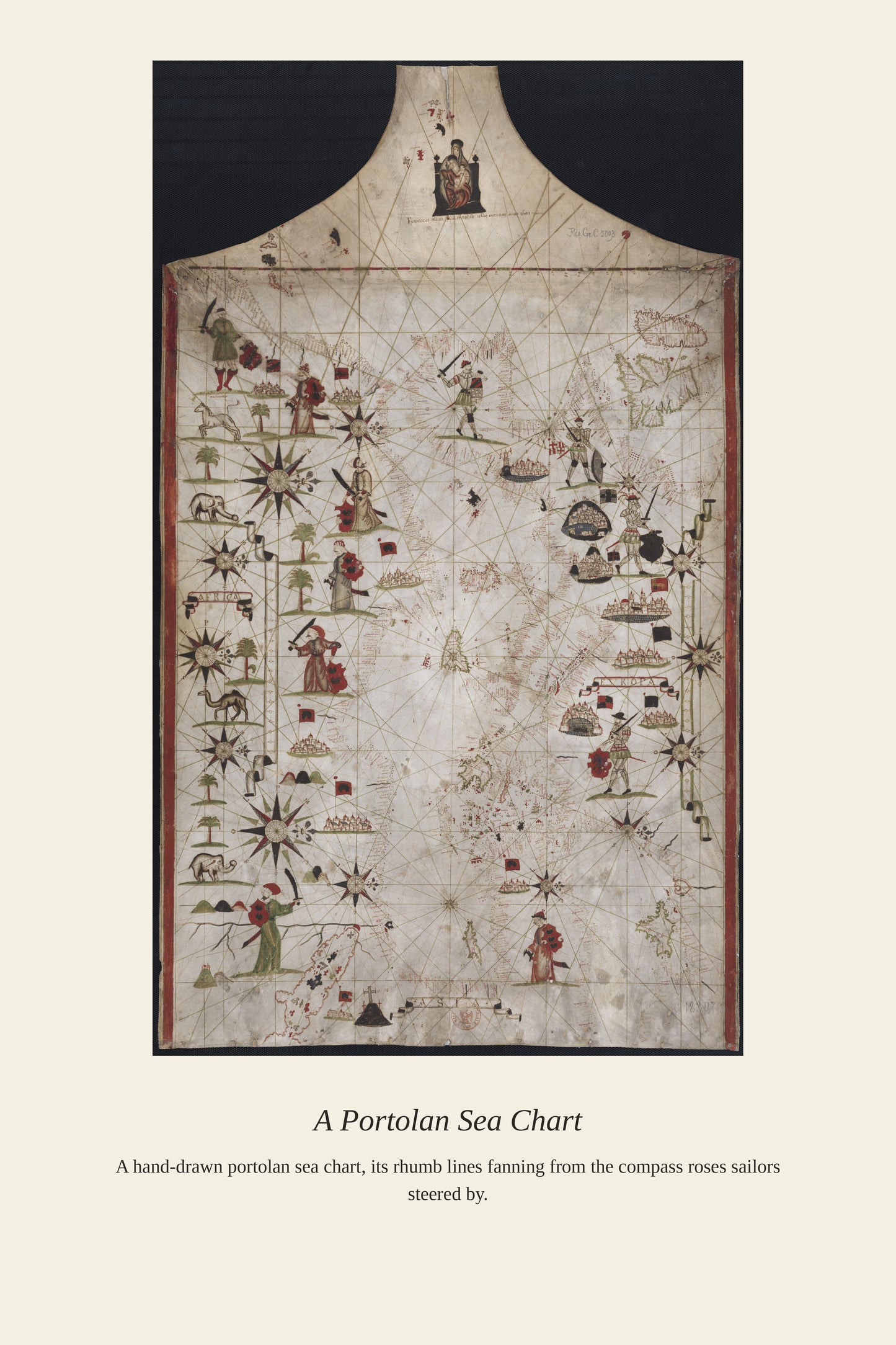
This French-titled nautical chart of the North Atlantic reflects centuries of accumulated maritime knowledge about one of the world's busiest and most dangerous shipping routes, linking the fishing grounds of the Grand Banks to the ports of Western Europe. French, English, Spanish, and Portuguese sailors had crossed these waters since the 16th century, first chasing cod off Newfoundland and later carrying immigrants, mail, and cargo on regular scheduled crossings. Nautical charts of the North Atlantic required constant revision as sandbanks shifted and new hazards were discovered, making each edition a snapshot of what sailors of a given era knew, and didn't yet know, about the ocean's dangers.
Materials & origin
Material: 200 gsm gallery-grade, acid-free fine-art paper (FSC-certified).