


Chart of the Atlantic Ocean (2) — Antique Art Print
Chart of the Atlantic Ocean (2) — Antique Art Print
Couldn't load pickup availability
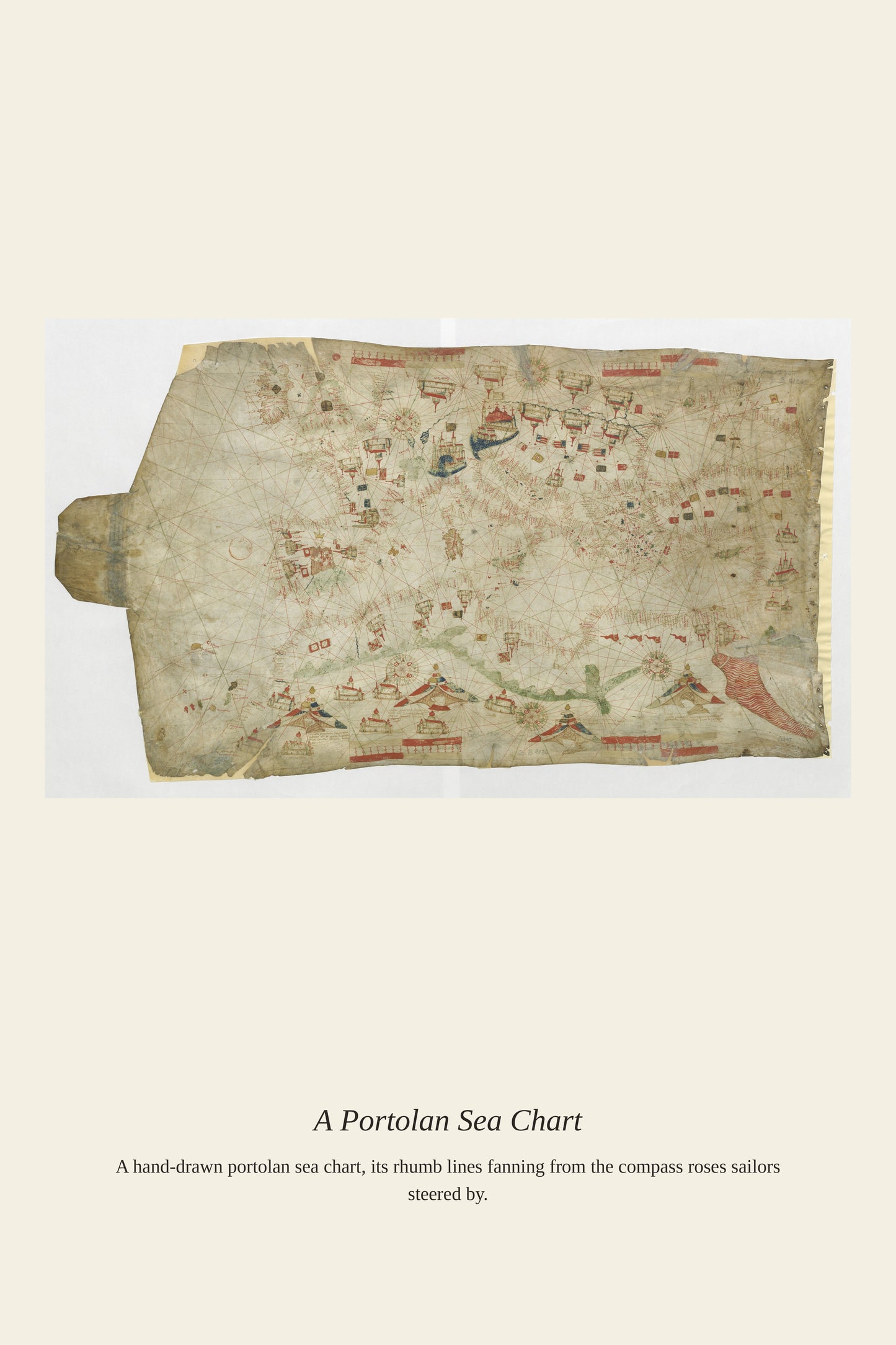
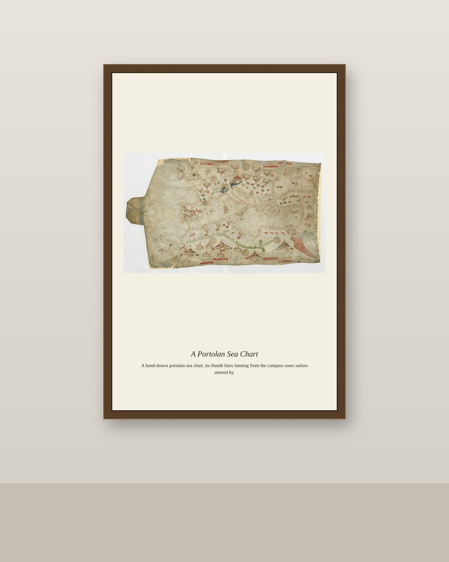
Charting the Atlantic Ocean was one of the great cartographic challenges of the early modern era, as sailors needed to record transatlantic currents, prevailing winds, and the treacherous mid-ocean areas far from any coastline to sight by. Unlike the coast-hugging portolan charts of the Mediterranean, Atlantic charts had to grapple with the curvature of the earth across vast open distances, pushing cartographers toward the mathematical projections that Gerardus Mercator and others developed in the 16th century. These charts were essential tools for the transatlantic trade and exploration that reshaped the global economy from the Age of Exploration onward.
Materials & origin
- Material: 200 gsm gallery-grade, acid-free fine-art paper (FSC-certified).
- Print: Archival giclée, 12-colour printing, smooth matte finish for glare-free display.
- Artwork: Restored from a public-domain original; colour and detail digitally cleaned for large-format print.
- Origin: Made on demand and shipped from the print hub nearest you, cutting transit and waste.
- Framing: Sold unframed; ships rolled in a protective tube.
Share


As Featured In





It made the sunroom feel finished in a way I could not manage on my own. It cost less than dinner out and has given us far more. It fits the sunroom like it was made for the space.
This is the best thing I have bought for the house all year. It survived a Brooklyn building where packages sit in the lobby all day. My only regret is not ordering sooner. ✨
Thank you. We spend a long time on the scans, so hearing that the detail came through means a lot.
It looks great in the nursery and my wife noticed it before I said anything. It brought Chart of the Atlantic Ocean into the house at a price I could actually justify. It works well in a split-level that has been hard to decorate. Good shop, good product, small quibble on cost.
I bought this as a housewarming gift and kept it a day before wrapping it. I have wanted a good version of Chart of the Atlantic Ocean for a long time and this is very close. The color match is close enough that nobody would question it. It is staying right where it is.