


Chart of the Atlantic Ocean (2) — Antique Nautical Chart Print
Chart of the Atlantic Ocean (2) — Antique Nautical Chart Print
Couldn't load pickup availability
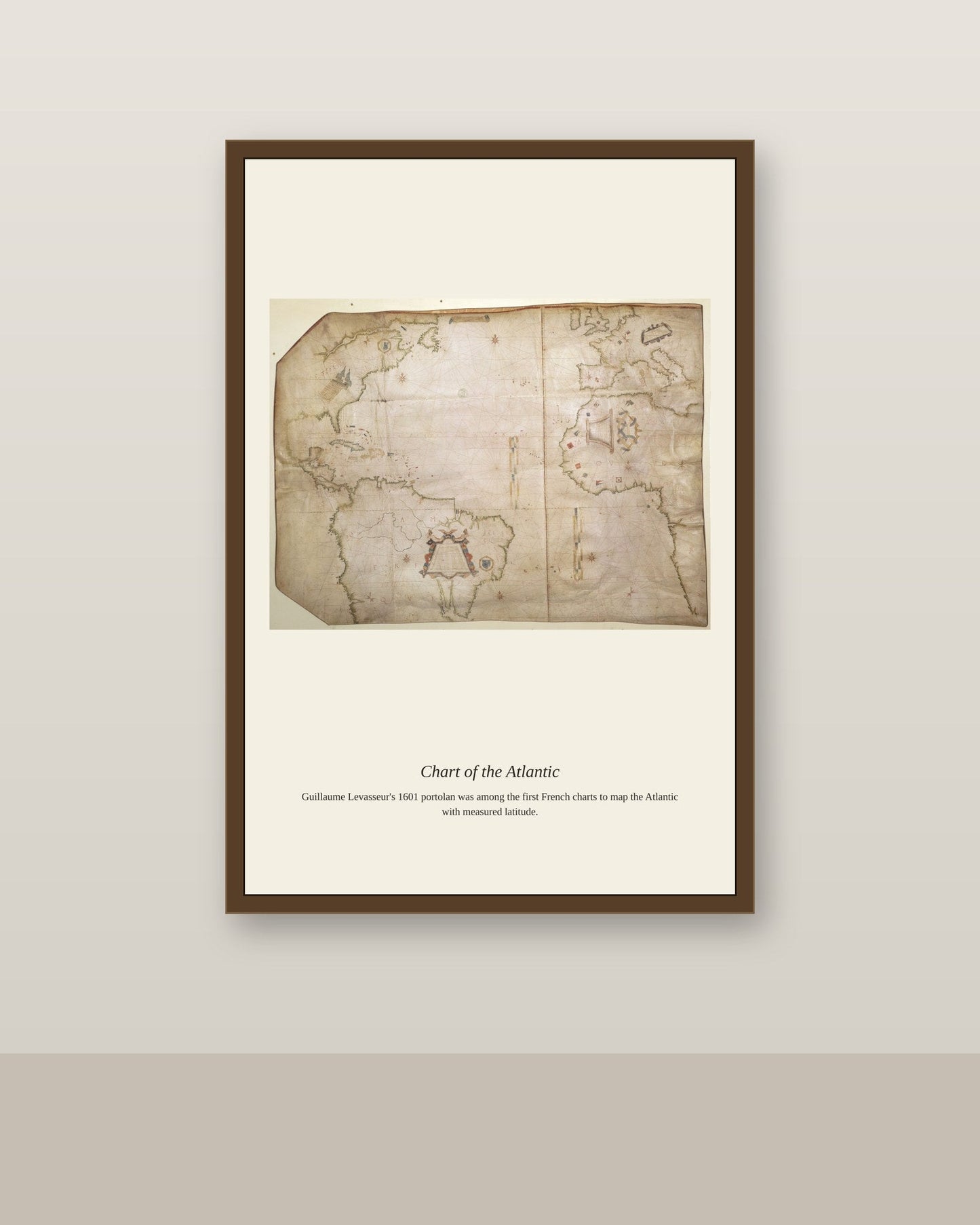
Long before satellite positioning, Atlantic Ocean charts relied on a combination of celestial navigation and dead reckoning, with captains fixing their latitude by measuring the sun or North Star and estimating their longitude from compass heading and elapsed time. The chart's accuracy depended entirely on the quality of information fed back by returning ships, meaning that busier shipping lanes, like those linking Europe to the American colonies, tended to be mapped in far greater detail than more remote stretches of ocean. Each generation of Atlantic charts reflects not just improving surveying techniques but the changing pattern of transatlantic trade and travel itself.
Materials & origin
- Material: 200 gsm gallery-grade, acid-free fine-art paper (FSC-certified).
- Print: Archival giclée, 12-colour printing, smooth matte finish for glare-free display.
- Artwork: Restored from a public-domain original; colour and detail digitally cleaned for large-format print.
- Origin: Made on demand and shipped from the print hub nearest you, cutting transit and waste.
- Framing: Sold unframed; ships rolled in a protective tube.
Share


As Featured In





This is my fourth order from this shop and the standard has not slipped once. The scale works perfectly for Chart of the Atlantic Ocean and nothing feels cramped.
It made the study feel finished in a way I could not manage on my own. The colors in Chart of the Atlantic Ocean are richer than any version I found online. It has not faded at all in a room that gets brutal afternoon light. I could not be happier with it.
Thanks for the review, and for trusting us with a gift order. Glad it arrived when it was supposed to.
It arrived two days after I ordered, which I did not expect. The detail in Chart of the Atlantic Ocean holds up with my face inches away. It fits the family room like it was made for the space. It has come through a summer of open windows and humidity without a problem. This one is staying with us a long time. ⭐