✓ Museum-quality archival giclée · ✓ Framed or unframed · ✓ Printed to order · ✓ Buy any 3 prints, save 10%
Couldn't load pickup availability
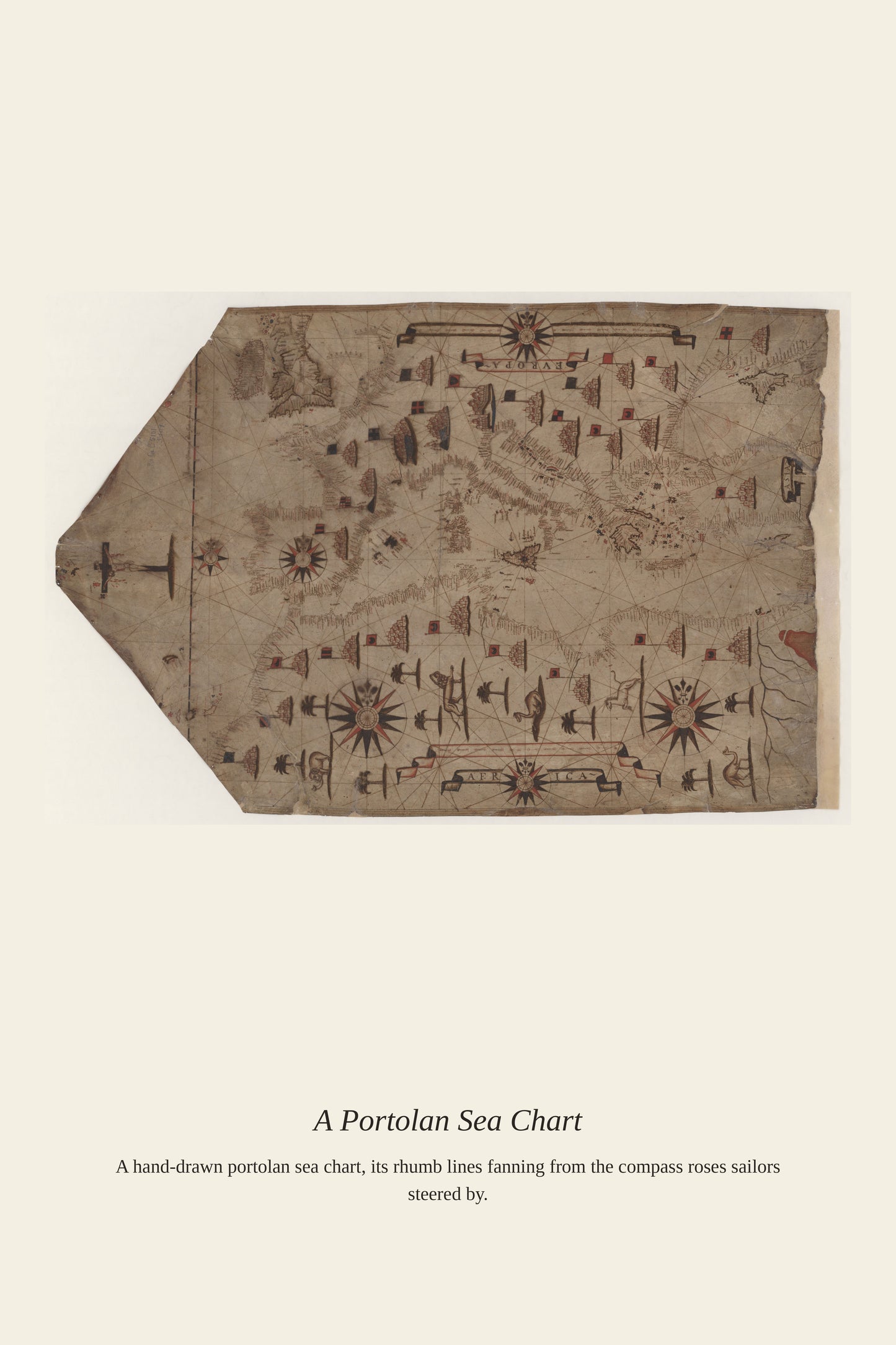
By the era this Atlantic Ocean chart was made, European navigators had spent centuries refining their understanding of the ocean's currents and winds, from the Canary Current that carried early Portuguese explorers south along Africa to the Gulf Stream that Benjamin Franklin helped chart in the 18th century. Every named current and marked shoal on a chart like this represented information gathered the hard way, through ships lost or delayed before the pattern was understood. These accumulated observations transformed the Atlantic from a forbidding unknown into a navigable highway connecting Europe, Africa, and the Americas.
Materials & origin
Material: 200 gsm gallery-grade, acid-free fine-art paper (FSC-certified).