✓ Museum-quality archival giclée · ✓ Framed or unframed · ✓ Printed to order · ✓ Buy any 3 prints, save 10%
Couldn't load pickup availability
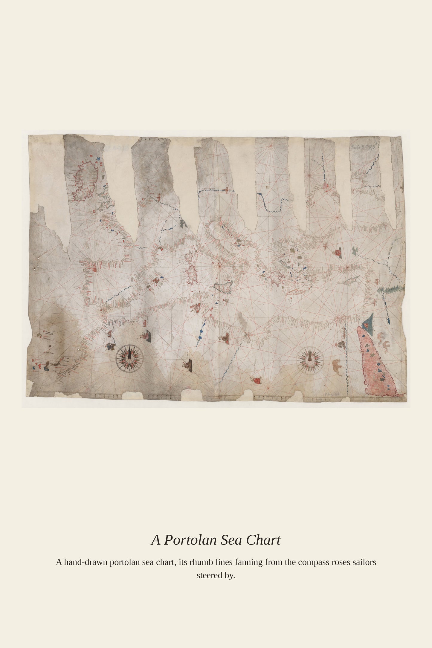
The Atlantic Ocean presented mapmakers with a different problem than the Mediterranean's crowded coastlines: an enormous, largely featureless expanse that had to be crossed by dead reckoning long before reliable methods existed for calculating longitude at sea. Charts like this one recorded the prevailing trade winds and currents that European sailors learned to exploit, from the winds that carried Columbus west in 1492 to the routes that later linked Europe, Africa, and the Americas in the transatlantic trade. Getting these open-ocean charts right was a matter of life and death for the ships that depended on them.
Materials & origin
Material: 200 gsm gallery-grade, acid-free fine-art paper (FSC-certified).