✓ Museum-quality archival giclée · ✓ Framed or unframed · ✓ Printed to order · ✓ Buy any 3 prints, save 10%
Couldn't load pickup availability
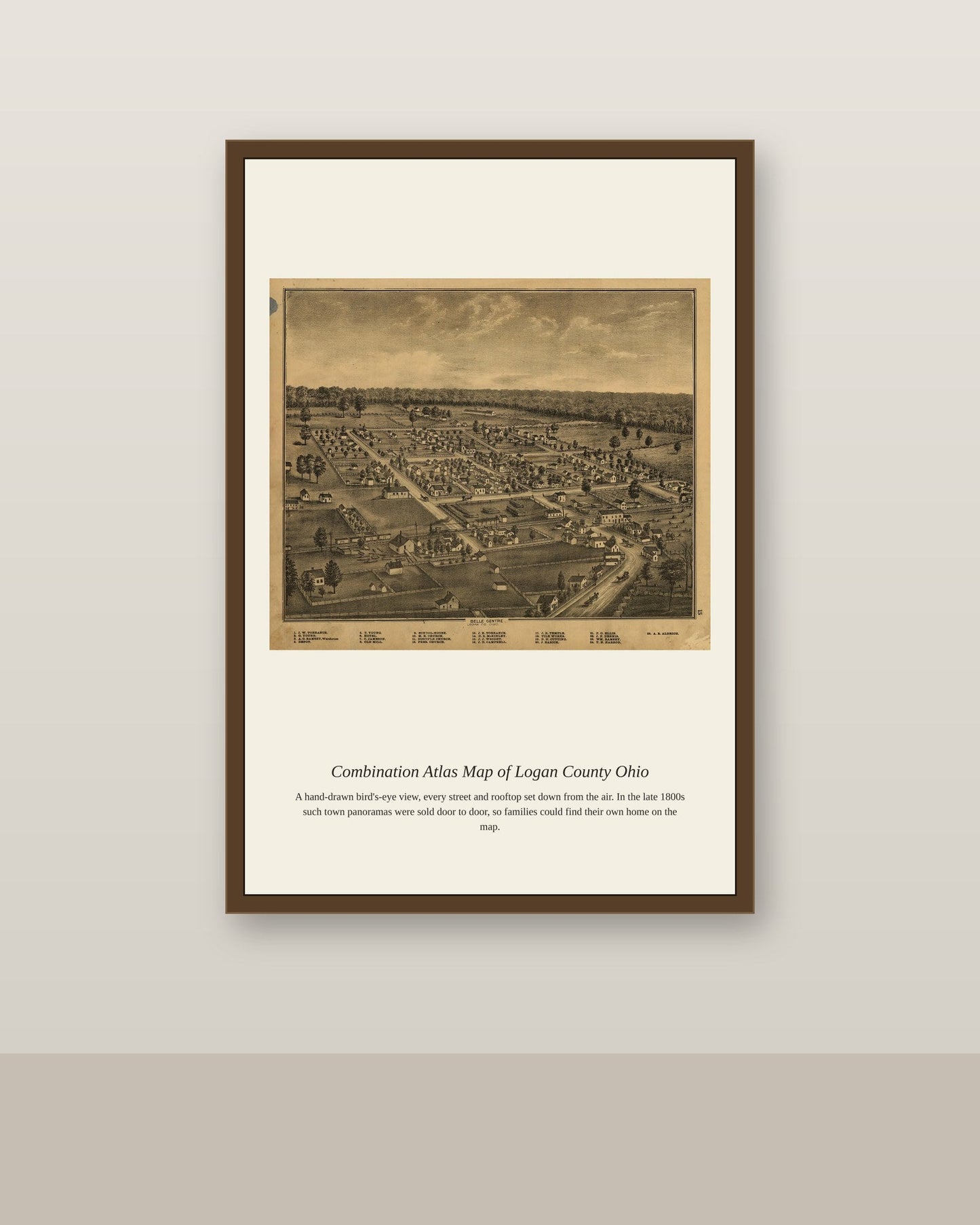
"Combination atlases" were a distinctly Midwestern publishing format of the 1870s and 1880s that combined detailed township maps with a directory of landowners, business advertisements, and short local histories, all bound into a single county-wide volume. Logan County, Ohio, in the west-central part of the state, was settled largely by farmers moving west from Pennsylvania and Virginia in the early 19th century, its fertile land and the growth of the town of Bellefontaine making it a prosperous agricultural county by the time such an atlas was compiled. These combination atlases were funded through local subscriptions and advertising, meaning that the businesses and landowners featured within essentially paid for the privilege of being mapped and remembered.
Materials & origin
Material: 200 gsm gallery-grade, acid-free fine-art paper (FSC-certified).