✓ Museum-quality archival giclée · ✓ Framed or unframed · ✓ Printed to order · ✓ Buy any 3 prints, save 10%
Couldn't load pickup availability
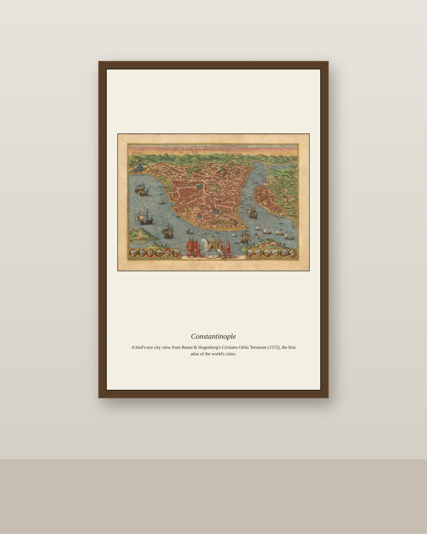
Constantinople's position controlling the narrow strait between the Black Sea and the Mediterranean made it one of the most fought-over cities in history, besieged more than twenty times over its long existence before finally falling to the Ottoman sultan Mehmed II in 1453 after a siege that used some of the largest cannons ever built to that point. Under Ottoman rule the city, later known as Istanbul, became the capital of an empire stretching from North Africa to the Persian Gulf, its population and wealth swelling as it absorbed traditions from the Byzantine, Persian, and Arab worlds it now connected. European mapmakers pictured the city again and again, fascinated by a metropolis that belonged fully to neither Europe nor Asia yet dominated trade between them.
Materials & origin
Material: 200 gsm gallery-grade, acid-free fine-art paper (FSC-certified).