


Antwerp — Frans Hogenberg Antique City Map Print
Antwerp — Frans Hogenberg Antique City Map Print
Couldn't load pickup availability
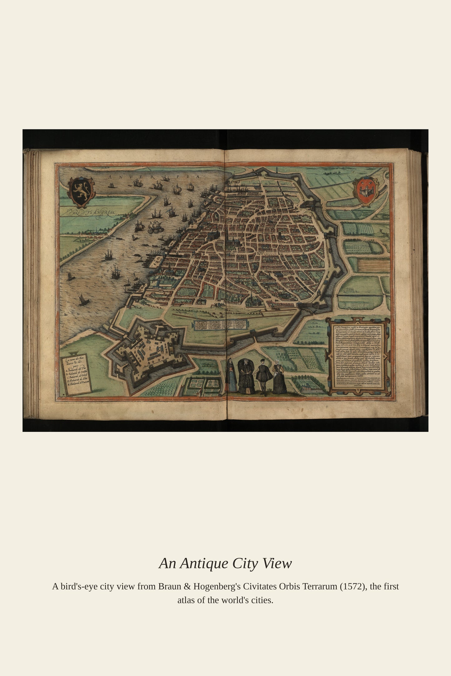
Antverpia is the Latin name for Antwerp, the Flemish port city that Frans Hogenberg himself called home before he fled religious persecution and settled in Cologne, where he engraved this view for the Civitates Orbis Terrarum. In the 16th century Antwerp was the commercial hub of northern Europe, its harbor on the Scheldt River handling more trade than any other port on the continent and its printing houses, including that of the famous cartographer Abraham Ortelius, making it a center of the map trade itself. The city's prosperity collapsed after Spanish troops sacked it in 1576 and a prolonged siege ended its Golden Age, making earlier views like this one a record of Antwerp at the height of its wealth and influence.
Materials & origin
- Material: 200 gsm gallery-grade, acid-free fine-art paper (FSC-certified).
- Print: Archival giclée, 12-colour printing, smooth matte finish for glare-free display.
- Artwork: Restored from a public-domain original; colour and detail digitally cleaned for large-format print.
- Origin: Made on demand and shipped from the print hub nearest you, cutting transit and waste.
- Framing: Sold unframed; ships rolled in a protective tube.
Share


As Featured In





This was a gift for my sister and she called me the day it arrived. The tones across Antwerp are even and true right to the corners.
The deep blue is a shade or two off from what I expected. The colors in Antwerp are close to right and a little cool for my taste. I am neither pleased nor annoyed.
I have bought a lot of art online and this is the first time it looked exactly like the listing. The detail in Antwerp holds up with my face inches away. I am already planning the next order. 🙂
This is fine for the money and not something I would rave about. The crop of Antwerp works, though I would have liked a little more space around it. Our summers are hard on everything and this did not survive one of them.
It made the guest room feel finished in a way I could not manage on my own. I bought this for Antwerp and got far more than I paid for. I would order this again tomorrow.