


Prague — Frans Hogenberg Antique City Map Print
Prague — Frans Hogenberg Antique City Map Print
Couldn't load pickup availability
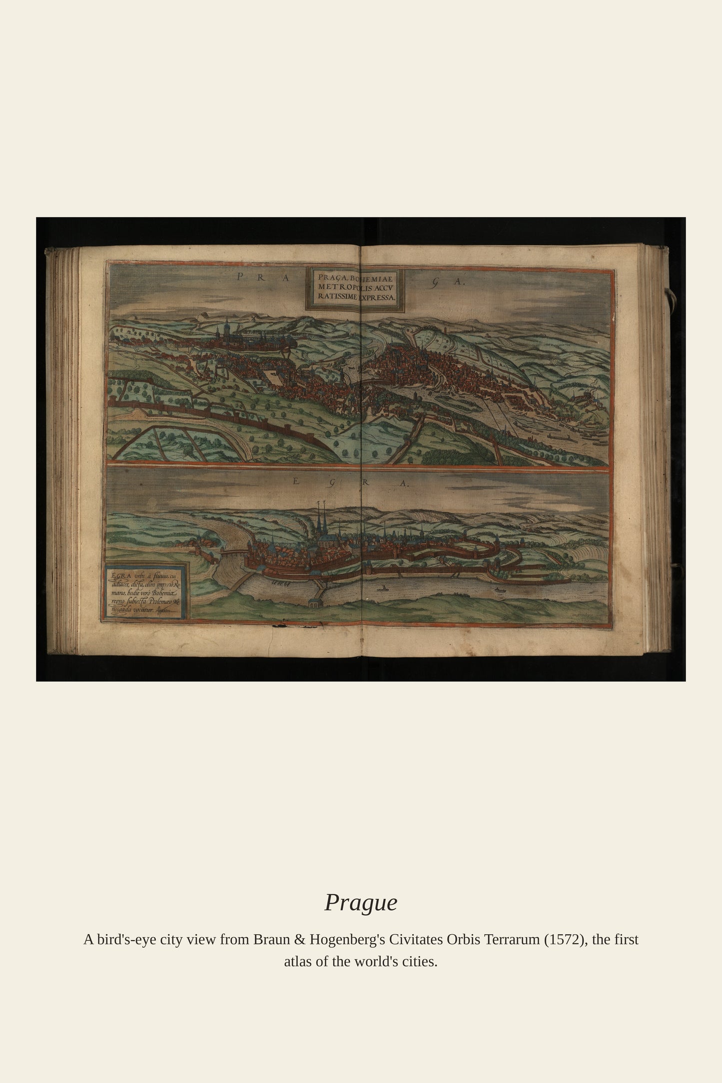
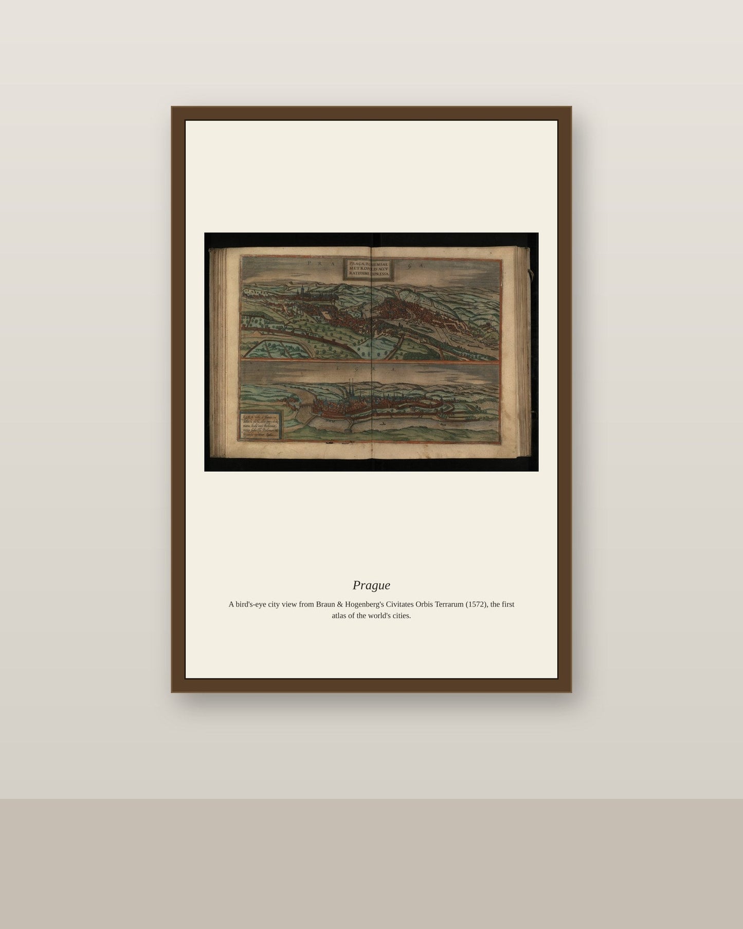
This view of Praga, the Latin name for Prague, was engraved by Frans Hogenberg for the Civitates Orbis Terrarum, the six-volume town atlas he produced with Georg Braun beginning in 1572. By the late 16th century Prague was the seat of the Holy Roman Emperor Rudolf II, who made the city a major center of art, science, and alchemy, drawing figures like the astronomers Tycho Brahe and Johannes Kepler into his court. The map captures the city split by the Vltava River, its skyline already dominated by Prague Castle and the Gothic spires that still define it today.
Materials & origin
- Material: 200 gsm gallery-grade, acid-free fine-art paper (FSC-certified).
- Print: Archival giclée, 12-colour printing, smooth matte finish for glare-free display.
- Artwork: Restored from a public-domain original; colour and detail digitally cleaned for large-format print.
- Origin: Made on demand and shipped from the print hub nearest you, cutting transit and waste.
- Framing: Sold unframed; ships rolled in a protective tube.
Share


As Featured In





I bought this to fill an awkward corner and it did much more than that. It brings out parts of Prague I have never seen reproduced this well. It was the first thing my mother noticed when she visited. An easy five stars from me.
It landed on my porch in perfect condition two days early. The smallest marks in Prague are still visible, which is the entire point.
I have bought three of these now for different rooms. I bought this for Prague and got far more than I paid for.
The detail is unbelievable for the price. I have been hunting for a good version of Prague for two years. Our farmhouse has a lot of empty space and this filled some of it nicely.
This is genuinely one of the nicest things we own now. It has made me appreciate Prague more than I already did. Everything down here fades in the heat, and this has held through an entire summer. My only regret is not ordering sooner…