


World Map with the Voyages of Joris — Antique World Map Print
World Map with the Voyages of Joris — Antique World Map Print
Couldn't load pickup availability
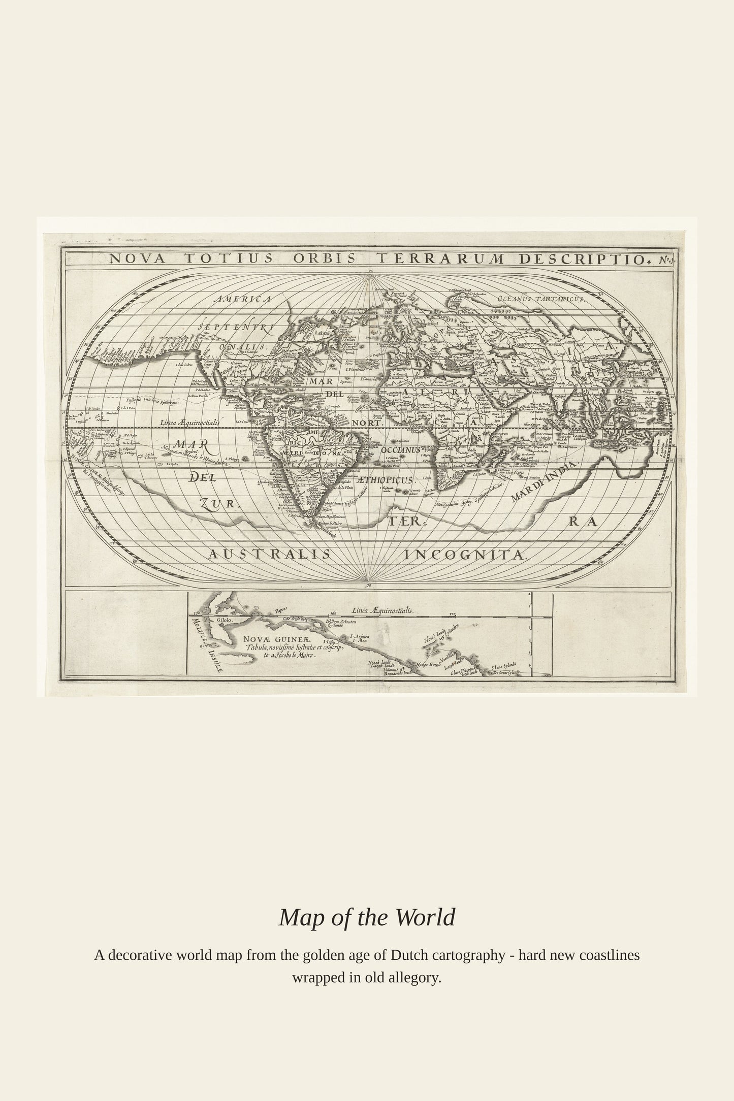
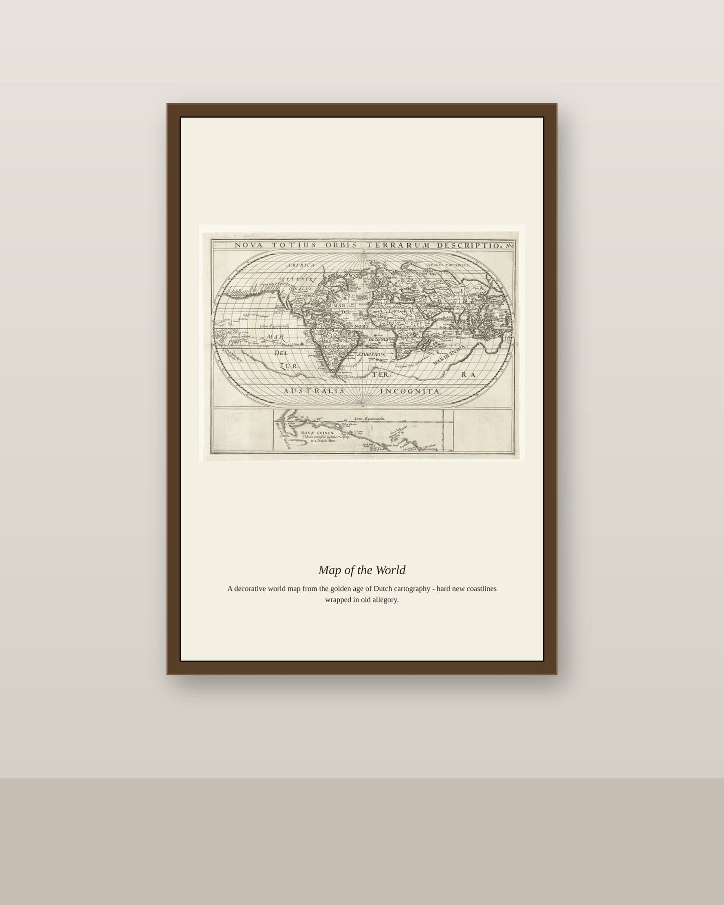
This Dutch-titled map, "World Map with the Voyages of Joris," charts the 1614–1617 circumnavigation led by Joris van Spilbergen, commander of a six-ship Dutch fleet that sailed via the Strait of Magellan to the East Indies and back. His expedition, sailing with official backing from the Dutch government, proved that the recently discovered route around Cape Horn, pioneered on the same voyage by Jacob le Maire and Willem Schouten, offered a viable alternative to the Portuguese-controlled route around Africa. Maps like this one were published to document the routes of Spilbergen and Le Maire together, tracing their courses across a world map of the period's cartographic knowledge.
Materials & origin
- Material: 200 gsm gallery-grade, acid-free fine-art paper (FSC-certified).
- Print: Archival giclée, 12-colour printing, smooth matte finish for glare-free display.
- Artwork: Restored from a public-domain original; colour and detail digitally cleaned for large-format print.
- Origin: Made on demand and shipped from the print hub nearest you, cutting transit and waste.
- Framing: Sold unframed; ships rolled in a protective tube.
Share


As Featured In





This is the rare purchase that looks better in person than online. There is a life to World Map with the Voyages of Joris here that flat reproductions usually kill. The tones are deep and even across the entire surface.
The detail is genuinely impressive for what I paid. My friends recognized World Map with the Voyages of Joris right away, which surprised me.
It made the guest room feel finished in a way I could not manage on my own. The shading in World Map with the Voyages of Joris has a depth I never noticed in books. The paper on this print is thick and slightly textured, exactly what I wanted. It has a substantial feel that photos cannot really show. Five stars without hesitation. ⭐
Half of this worked out and the other half did not. The colors in World Map with the Voyages of Joris are close to right and a little cool for my taste. Fine for a room nobody spends much time in.
Appreciate the detail here. If you decide it is not right for the space, our return window is generous and we will keep it easy.
This turned out better than the photos led me to expect. The subject of World Map with the Voyages of Joris is what sold me, and it delivers.