


Lisbon (2) — Antique City Map Print
Lisbon (2) — Antique City Map Print
Couldn't load pickup availability
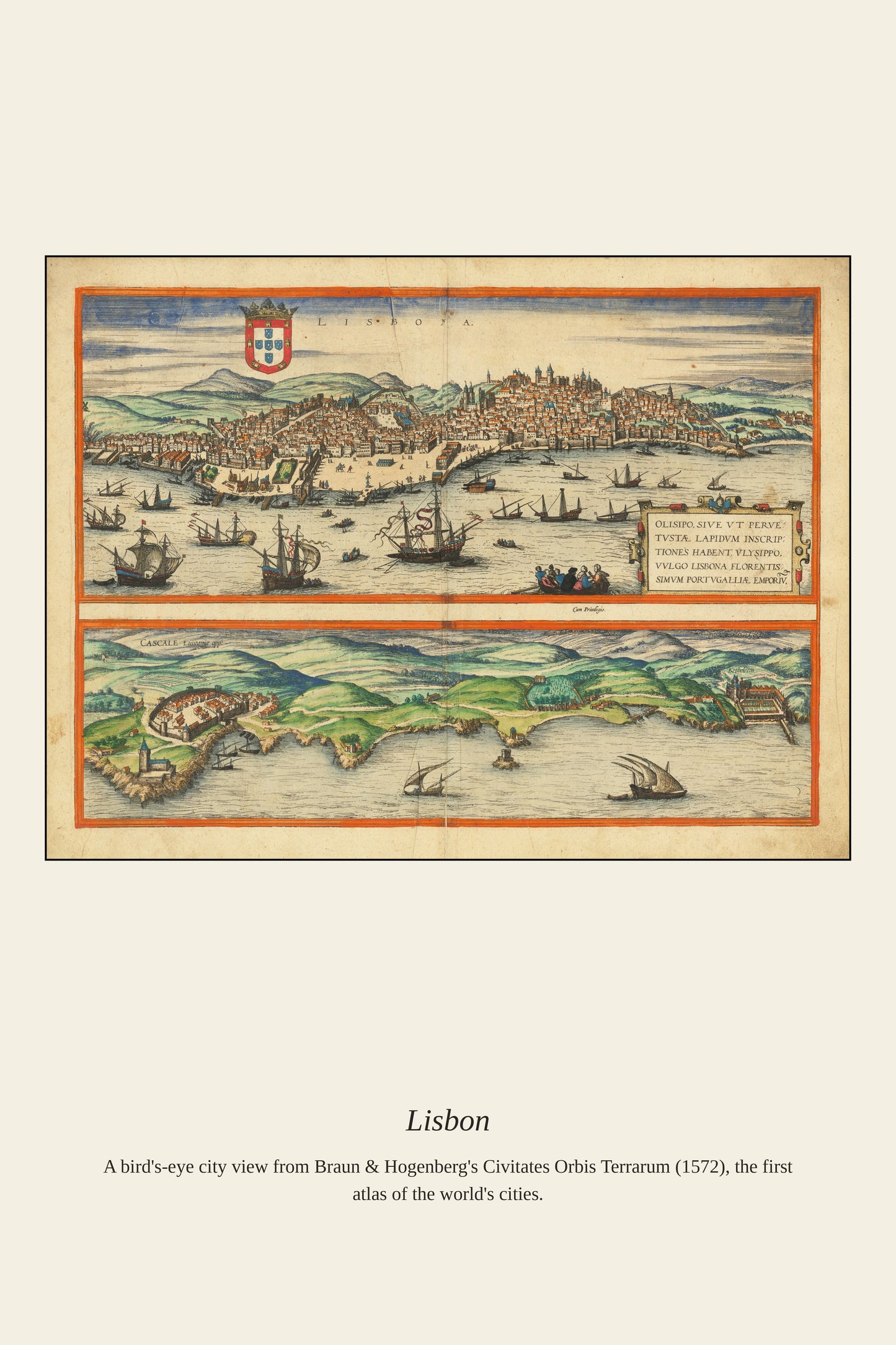
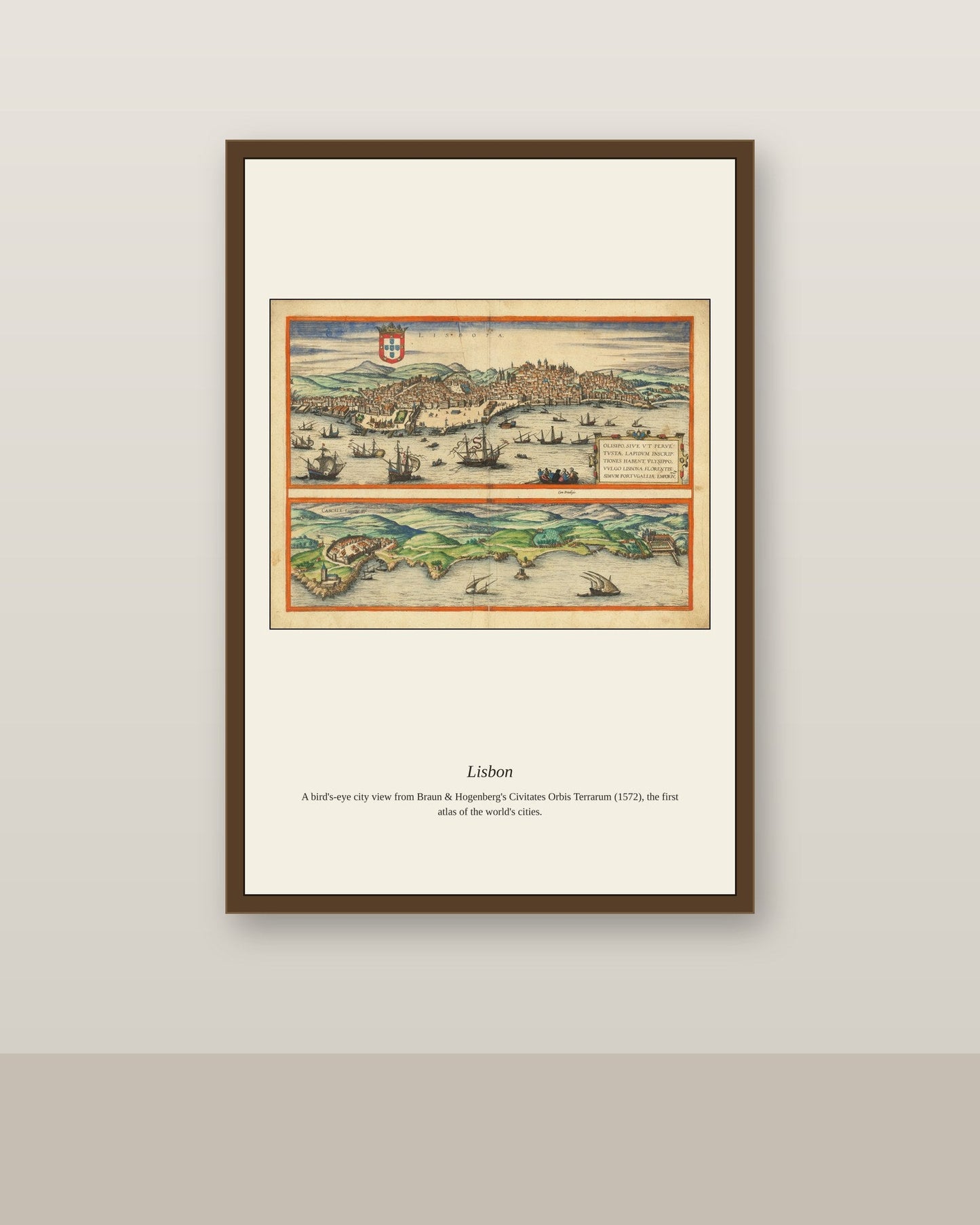
Lisbon's position on the wide estuary of the Tagus River made it one of the great port cities of the Age of Exploration, the launching point for Portuguese voyages to Africa, India, and Brazil throughout the 15th and 16th centuries. Its skyline of hillside terraces, monasteries, and the fortified Belém tower guarding the harbor entrance made it a favorite subject for the city-view atlases that European publishers produced from the 1570s onward. Much of the Lisbon shown in such prints was destroyed in the catastrophic 1755 earthquake, making earlier views like this one a rare record of the city before its rebuilding.
Materials & origin
- Material: 200 gsm gallery-grade, acid-free fine-art paper (FSC-certified).
- Print: Archival giclée, 12-colour printing, smooth matte finish for glare-free display.
- Artwork: Restored from a public-domain original; colour and detail digitally cleaned for large-format print.
- Origin: Made on demand and shipped from the print hub nearest you, cutting transit and waste.
- Framing: Sold unframed; ships rolled in a protective tube.
Share


As Featured In





It looks like something out of a museum shop, in the best possible way. Perfect from start to finish.
This shop does everything right, from checkout to delivery. I bought this for Lisbon and got far more than I paid for. It has come through a summer of open windows and humidity without a problem. It cost less than dinner out and has given us far more. Worth every dollar and then some.
It has completely changed how the guest room feels. Every line in Lisbon is crisp, even in the busiest areas. It has been worth every minute of the wait.
I would buy from this shop again without much thought. The detail in Lisbon holds up from a couple of feet away. It does everything I hoped it would.
The customer service here answered me on a Sunday. I have been hunting for a good version of Lisbon for two years. It looks like something you would find in a very good museum shop. It has become the thing I point to when people compliment the house. Don’t think twice, just order it.