✓ Museum-quality archival giclée · ✓ Framed or unframed · ✓ Printed to order · ✓ Buy any 3 prints, save 10%
Couldn't load pickup availability
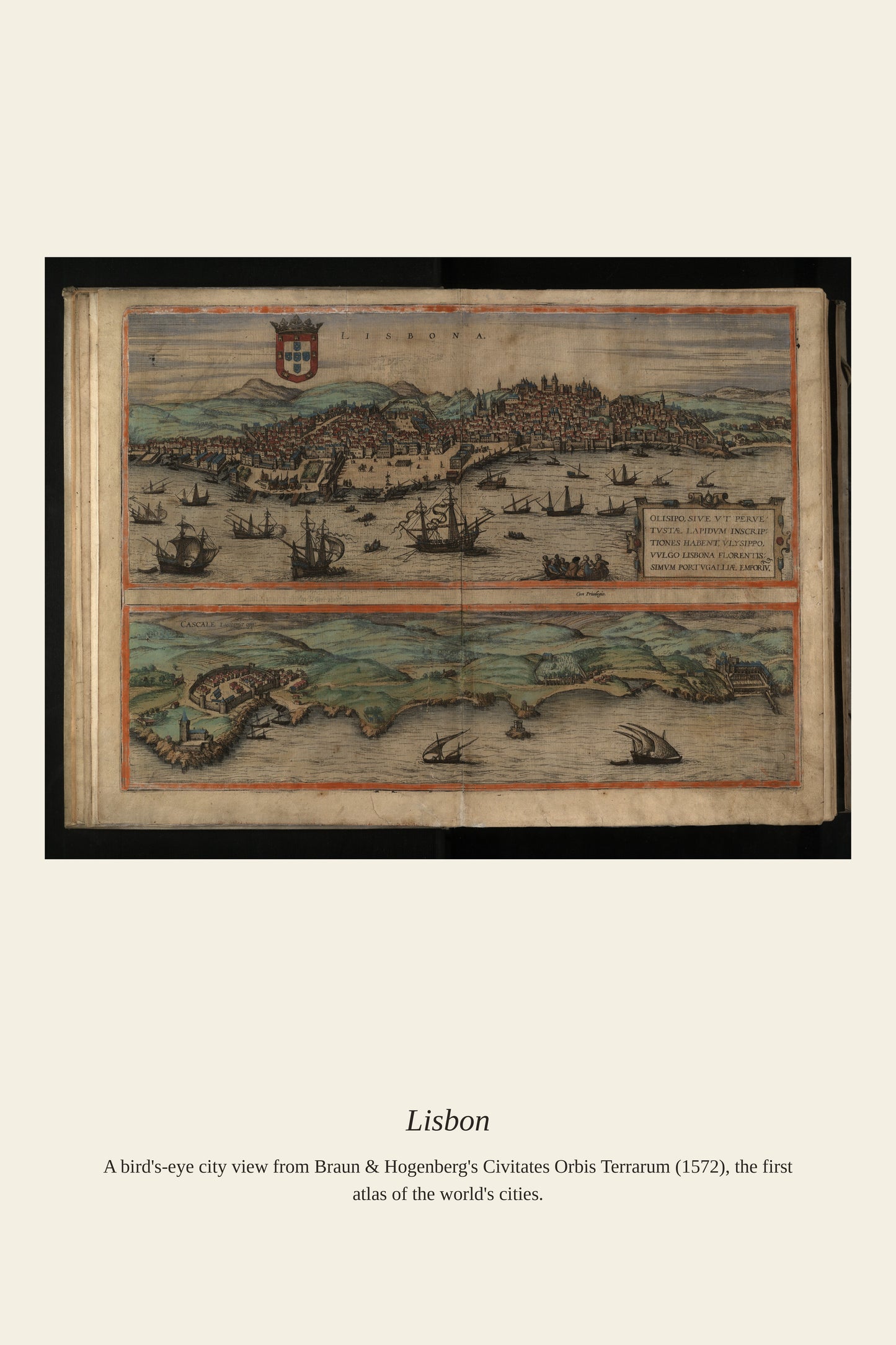
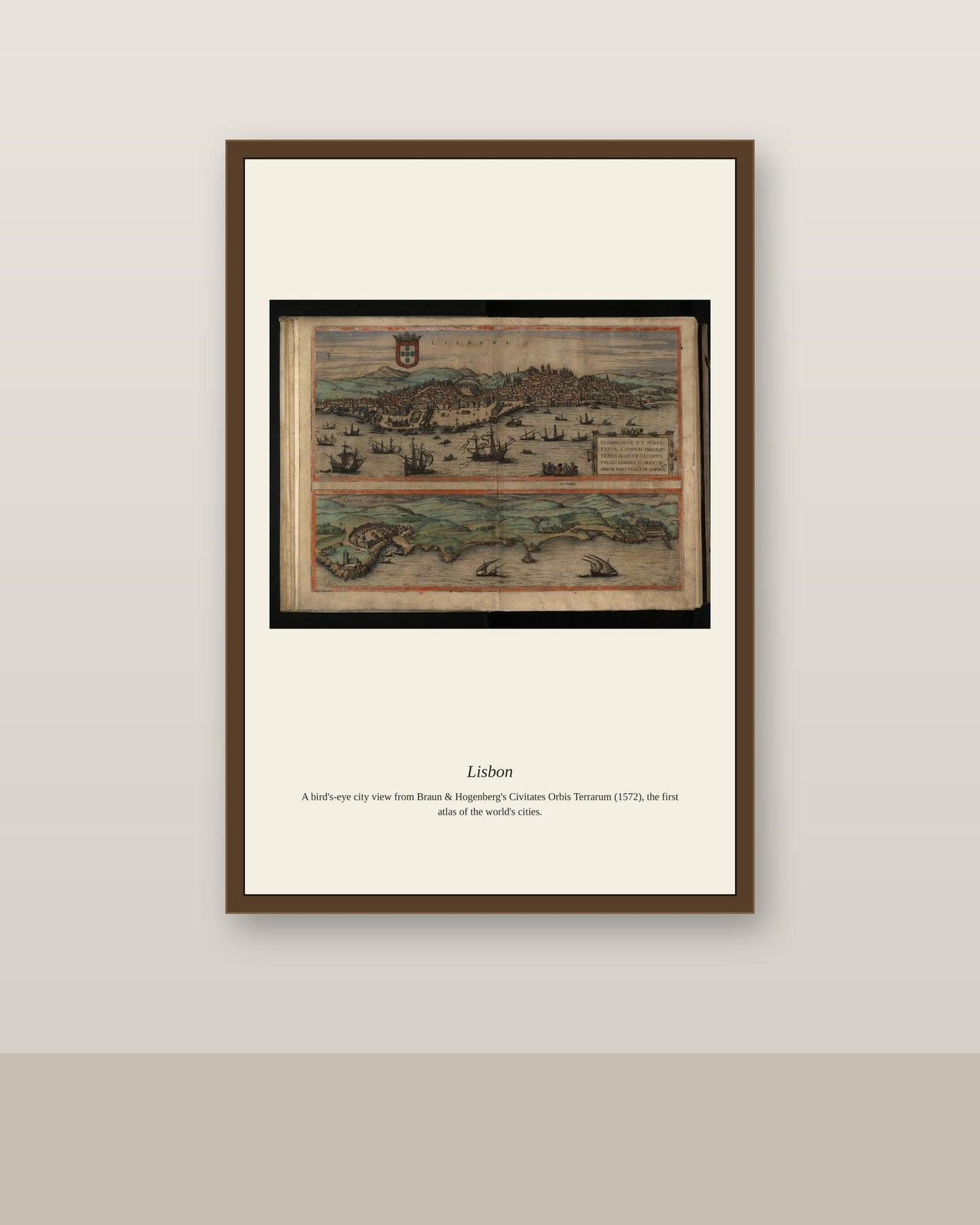
Lisbon's natural harbor on the broad estuary of the Tagus River made it the departure point for the Portuguese voyages of exploration that reached India, Brazil, and beyond during the 15th and 16th centuries, turning the city into one of the wealthiest ports in Europe. Its hillside streets, monasteries, and the fortified Torre de Belém guarding the harbor mouth became a signature subject for the city-view atlases published across Europe from the 1570s onward. Because the catastrophic earthquake, fire, and tsunami of 1755 destroyed much of the historic city, surviving views like this one are especially valuable records of Lisbon before that disaster reshaped it.
Materials & origin
Material: 200 gsm gallery-grade, acid-free fine-art paper (FSC-certified).