


Paris (2) — Antique City Map Print
Paris (2) — Antique City Map Print
Couldn't load pickup availability
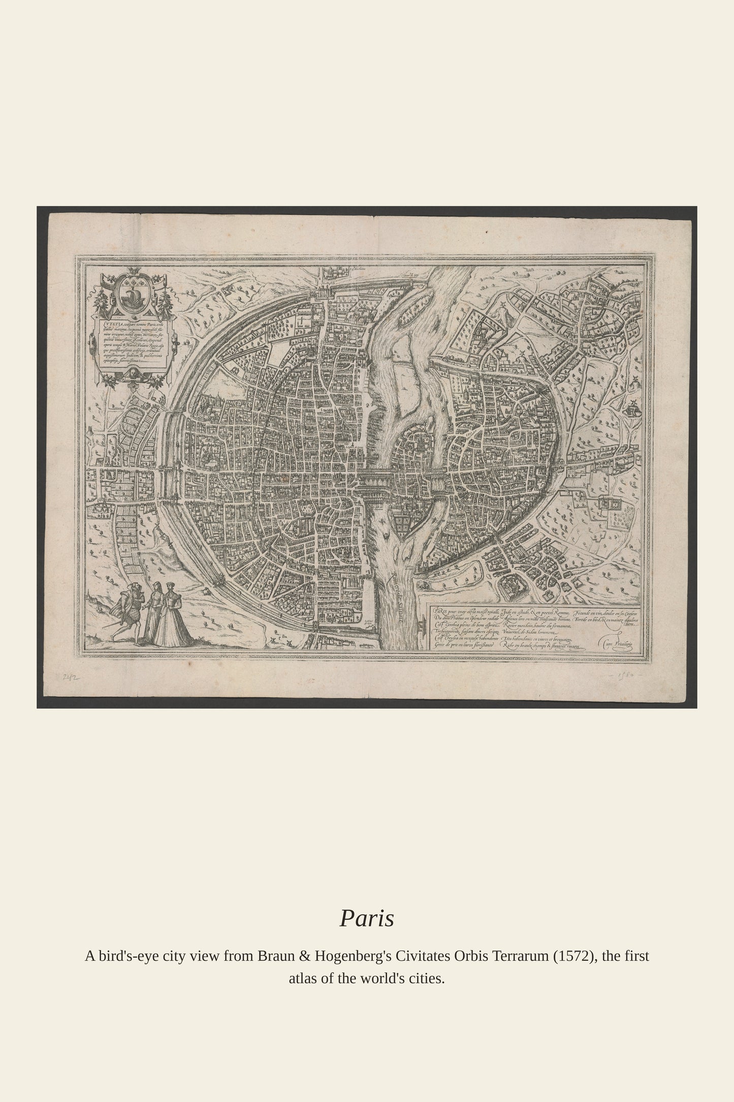
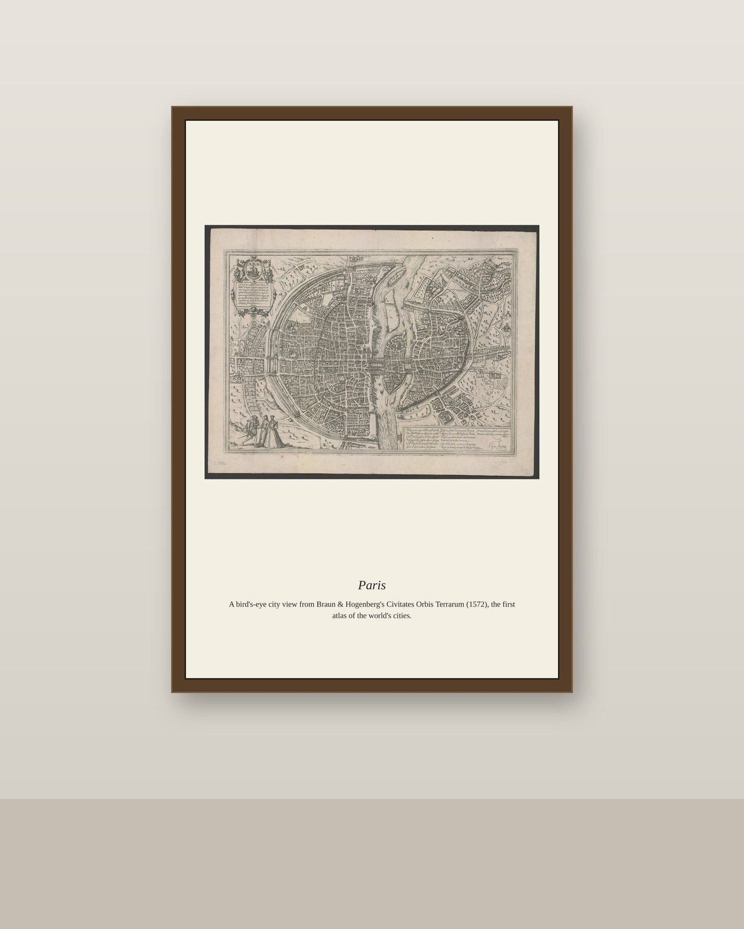
By the 16th century, Paris was already established as one of Europe's largest cities, its skyline dominated by the towers of Notre-Dame, the Louvre palace, and the university quarter on the Left Bank, all bisected by the Seine and its bridges lined with houses and shops. City views like this one belong to a tradition of urban portraiture that flourished after Georg Braun and Frans Hogenberg published their Civitates Orbis Terrarum beginning in 1572, the first atlas devoted entirely to the world's cities. Such prints let audiences across Europe who would never travel to Paris study its bridges, walls, and steeples from the comfort of a printed page.
Materials & origin
- Material: 200 gsm gallery-grade, acid-free fine-art paper (FSC-certified).
- Print: Archival giclée, 12-colour printing, smooth matte finish for glare-free display.
- Artwork: Restored from a public-domain original; colour and detail digitally cleaned for large-format print.
- Origin: Made on demand and shipped from the print hub nearest you, cutting transit and waste.
- Framing: Sold unframed; ships rolled in a protective tube.
Share


As Featured In





I have bought three of these now for different rooms. My daughter recognized Paris from her art class and was thrilled.
This is exactly what I was looking for, and I looked for a long time. It has made me appreciate Paris more than I already did. I have already ordered two more for other rooms. Our driver leaves everything at the end of a long gravel driveway and it still arrived in perfect shape. Highly recommended if you are hesitating.
My mother liked hers so much that I ordered one too. The shading in Paris has a depth I never noticed in books. Buy it, you will not regret it.
My mother liked hers so much that I ordered one too. There is a life to Paris here that flat reproductions usually kill. This shop has a customer for life in me.
It came packed so well that opening it took ten minutes. I have been hunting for a good version of Paris for two years. 👌