✓ Museum-quality archival giclée · ✓ Framed or unframed · ✓ Printed to order · ✓ Buy any 3 prints, save 10%
Couldn't load pickup availability
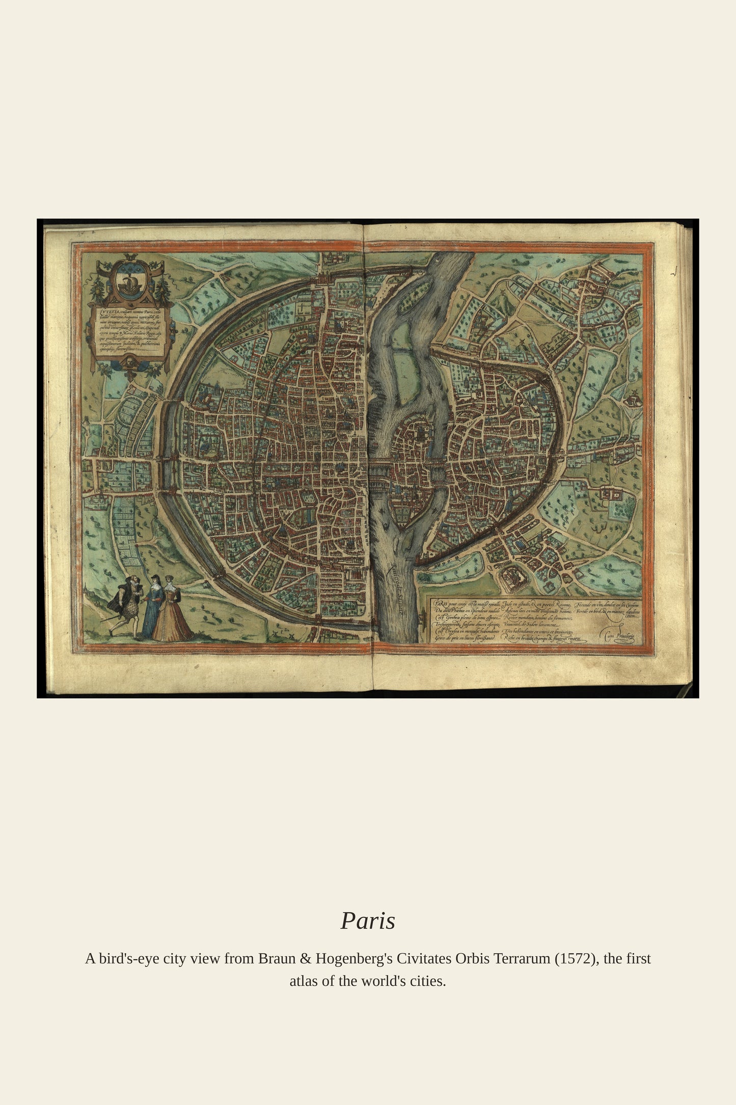
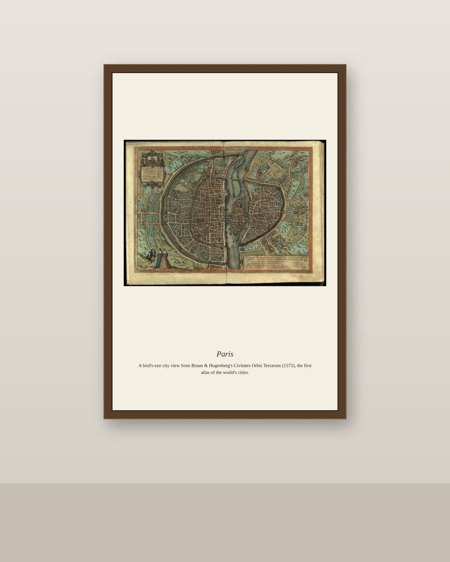
Long before it became the Paris of grand boulevards, the city was a dense medieval capital built around the Île de la Cité, where Notre-Dame Cathedral had risen over the 12th and 13th centuries beside the royal fortress of the Louvre. By the 16th century, when European publishers began mass-producing city-view atlases, Paris was already recognized as one of the largest and most learned cities in Europe, home to the University of Paris and a thriving print and manuscript trade of its own. Views like this one captured the Seine's bridges and the walled city's rooftops for an audience across Europe eager to picture the French capital.
Materials & origin
Material: 200 gsm gallery-grade, acid-free fine-art paper (FSC-certified).