


Pictorial St Louis the Great Metropolis — Antique Map Print
Pictorial St Louis the Great Metropolis — Antique Map Print
Couldn't load pickup availability
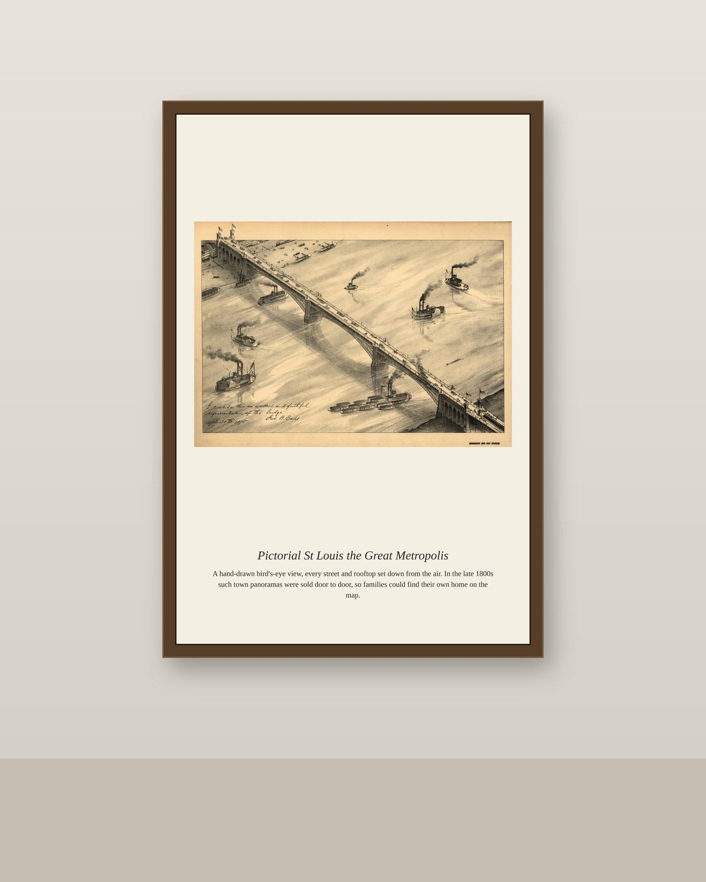
"Pictorial St. Louis" refers to one of the most ambitious American bird's-eye-view projects of the 19th century, an 1875 atlas by the artist Camille N. Dry and publisher Richard J. Compton that mapped the entire city of St. Louis, Missouri, block by block across more than 110 individual plates. By the 1870s St. Louis had grown into one of America's largest cities, a booming Mississippi River port and rail hub often nicknamed "the Gateway to the West" for its role funneling settlers and goods toward the frontier. The sheer scale of Pictorial St. Louis, covering an entire major metropolis with the same building-by-building detail usually reserved for small towns, made it one of the most remarkable achievements of the American panoramic mapping tradition.
Materials & origin
- Material: 200 gsm gallery-grade, acid-free fine-art paper (FSC-certified).
- Print: Archival giclée, 12-colour printing, smooth matte finish for glare-free display.
- Artwork: Restored from a public-domain original; colour and detail digitally cleaned for large-format print.
- Origin: Made on demand and shipped from the print hub nearest you, cutting transit and waste.
- Framing: Sold unframed; ships rolled in a protective tube.
Share


As Featured In





This is my fourth order from this shop and the standard has not slipped once. It brings out parts of Pictorial St Louis I have never seen reproduced this well. It makes the stairwell feel like somebody with taste lives here. I would order this again tomorrow.
My mother liked hers so much that I ordered one too. The reproduction quality makes the price look like a mistake in my favor. I am thrilled with the whole experience.
I ordered it on a Friday and it was here Monday. Everything that makes Pictorial St Louis special survived the reproduction. Ten out of ten from me.
This is exactly what I was looking for, and I looked for a long time. It has made me appreciate Pictorial St Louis more than I already did. The colors are richer and warmer than a screen can show. Thank you for making something this good.
The listing photos are flattering without being dishonest. My eye goes to the middle of Pictorial St Louis and finds the edges a bit soft. The scan holds up until you get closer than three feet. The paper on this print is decent without feeling special.