


Portolan Chart of the Atlantic Ocean — Antique Nautical Chart Print
Portolan Chart of the Atlantic Ocean — Antique Nautical Chart Print
Couldn't load pickup availability
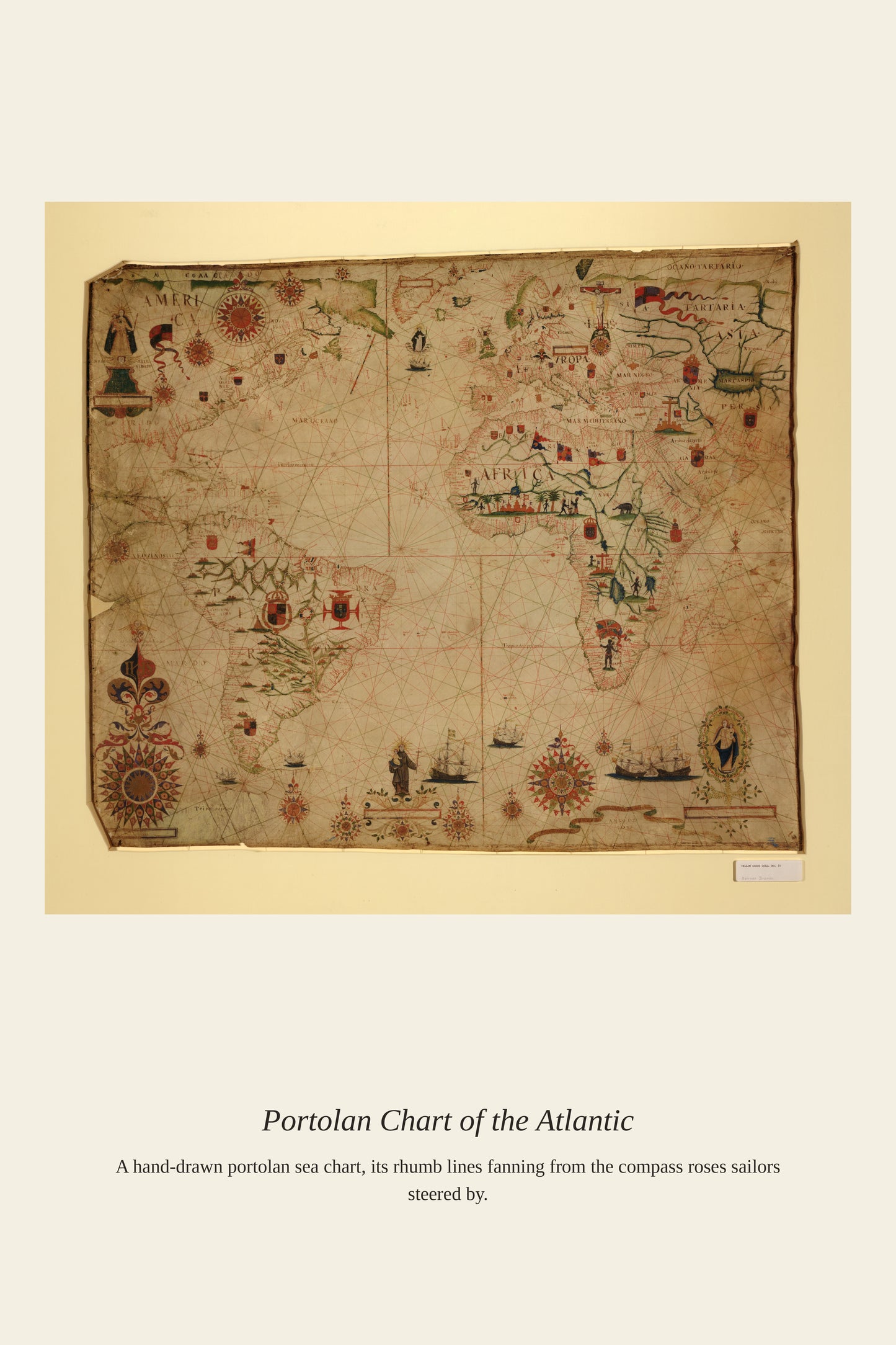
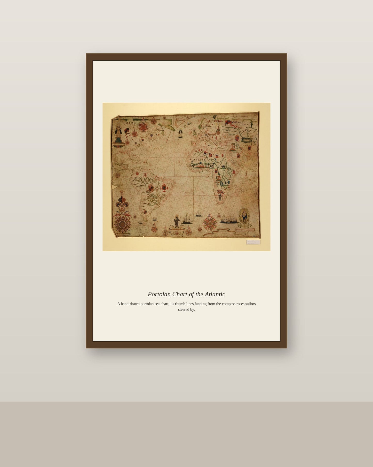
As European sailors pushed beyond the Mediterranean into the Atlantic during the Age of Exploration, they adapted the portolan charting techniques developed over centuries for the Mediterranean and Black Sea to a far larger and less forgiving ocean. Atlantic portolans needed to account for the region's stronger tides, more violent storms, and the vast stretches of open water between the Canary Islands, the Azores, and the coasts of Africa and the emerging Americas. These charts became essential tools for the Portuguese and Spanish captains who pioneered the sea routes that connected Europe to the wider world.
Materials & origin
- Material: 200 gsm gallery-grade, acid-free fine-art paper (FSC-certified).
- Print: Archival giclée, 12-colour printing, smooth matte finish for glare-free display.
- Artwork: Restored from a public-domain original; colour and detail digitally cleaned for large-format print.
- Origin: Made on demand and shipped from the print hub nearest you, cutting transit and waste.
- Framing: Sold unframed; ships rolled in a protective tube.
Share


As Featured In





I have bought a lot of art online and this is the first time it looked exactly like the listing. I have been hunting for a good version of Portolan Chart of the Atlantic Ocean for two years. The packing was almost comical in how careful it was.
I have bought a lot of art online and this is the first time it looked exactly like the listing. The scale works perfectly for Portolan Chart of the Atlantic Ocean and nothing feels cramped. The size is exactly right for the spot I had in mind. Five stars without hesitation.
This is my fourth order from this shop and the standard has not slipped once. It cost less than dinner out and has given us far more. It was the first thing my mother noticed when she visited.
This went well past what I expected. The scale works perfectly for Portolan Chart of the Atlantic Ocean and nothing feels cramped…
It arrived four days after I ordered and in perfect shape. The reproduction of Portolan Chart of the Atlantic Ocean is faithful enough that I would buy another. It has become the thing guests comment on first. It has made the home office feel more finished.