


Portolan Chart of the Mediterranean (3) — Antique Nautical Chart Print
Portolan Chart of the Mediterranean (3) — Antique Nautical Chart Print
Couldn't load pickup availability
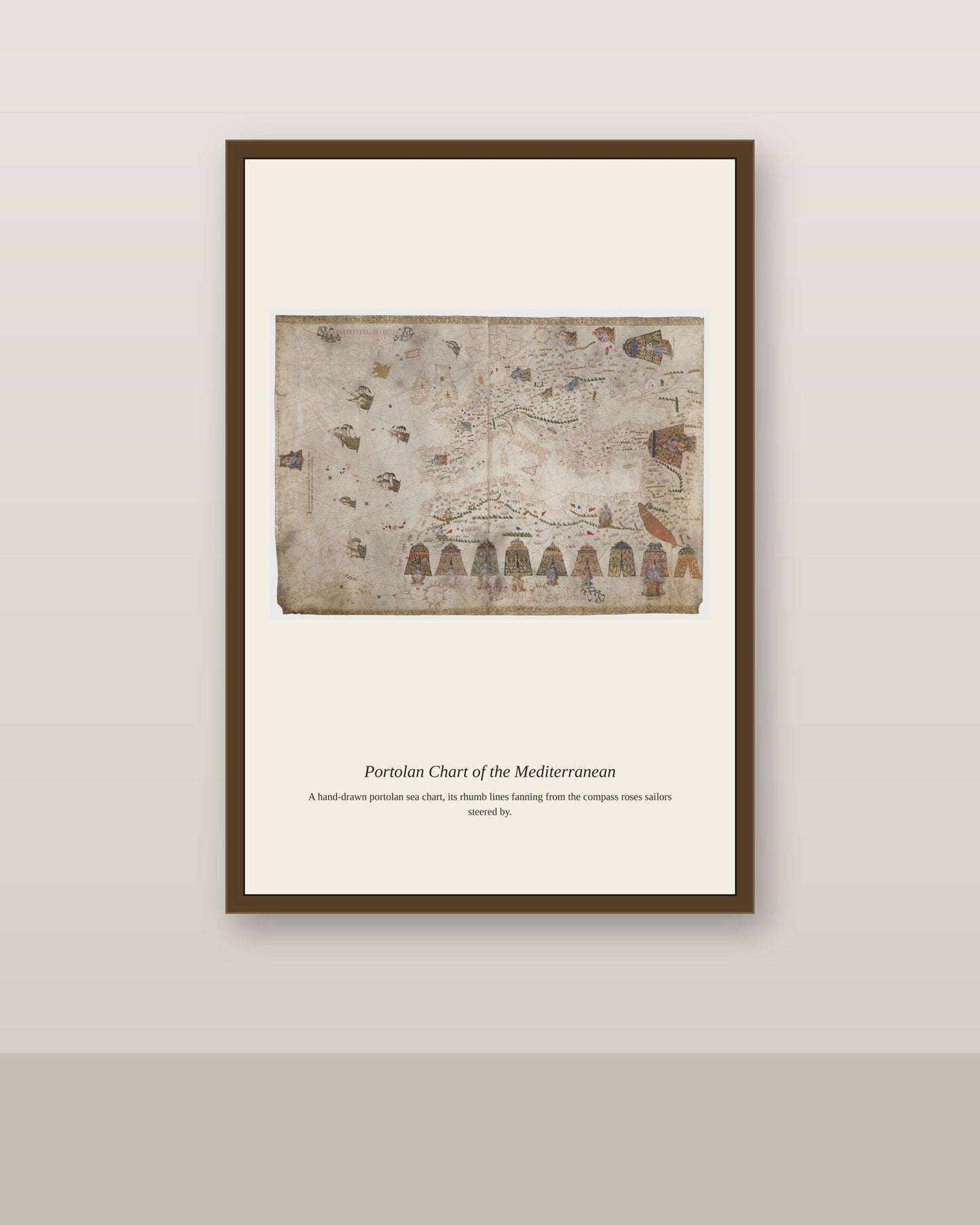
Portolan charts of the Mediterranean served merchants and naval commanders alike, since the sea's coastline was dotted with rival ports controlled by Venice, Genoa, the Ottoman Empire, and various Spanish and Italian states, each with its own harbors, tariffs, and hazards to navigate. A well-made chart let a captain plan a voyage across contested waters, avoiding pirate havens and shoals while identifying the safest harbors for resupply. Because political control of Mediterranean ports shifted constantly through war and treaty, chartmakers had to stay current with a fast-changing political geography layered on top of a comparatively stable coastline.
Materials & origin
- Material: 200 gsm gallery-grade, acid-free fine-art paper (FSC-certified).
- Print: Archival giclée, 12-colour printing, smooth matte finish for glare-free display.
- Artwork: Restored from a public-domain original; colour and detail digitally cleaned for large-format print.
- Origin: Made on demand and shipped from the print hub nearest you, cutting transit and waste.
- Framing: Sold unframed; ships rolled in a protective tube.
Share


As Featured In





The detail is genuinely impressive for what I paid. The balance of light and dark in Portolan Chart of the Mediterranean came out better than I expected. I would order from here again. 😍
I’m really pleased with this. The balance of light and dark in Portolan Chart of the Mediterranean came out better than I expected.
The subject is exactly what I wanted and the reproduction is only okay. The linework in Portolan Chart of the Mediterranean is decent without ever being crisp. The condition on arrival was flawless, which I do appreciate. I would think it over before ordering again.
My only complaint is that I wish they made a bigger version. The subject of Portolan Chart of the Mediterranean is what sold me, and it delivers. The packing was thorough enough that it could have been dropped and survived. I have bought two more since this one arrived.
I have bought similar things for half this price and been happier. The muted tones in Portolan Chart of the Mediterranean do not have the depth I was hoping for. I am not angry, only disappointed.
I am sorry for the trouble. If you email us a photo of the damage we can send a replacement the same day, and you can keep the original.