✓ Museum-quality archival giclée · ✓ Framed or unframed · ✓ Printed to order · ✓ Buy any 3 prints, save 10%
Couldn't load pickup availability
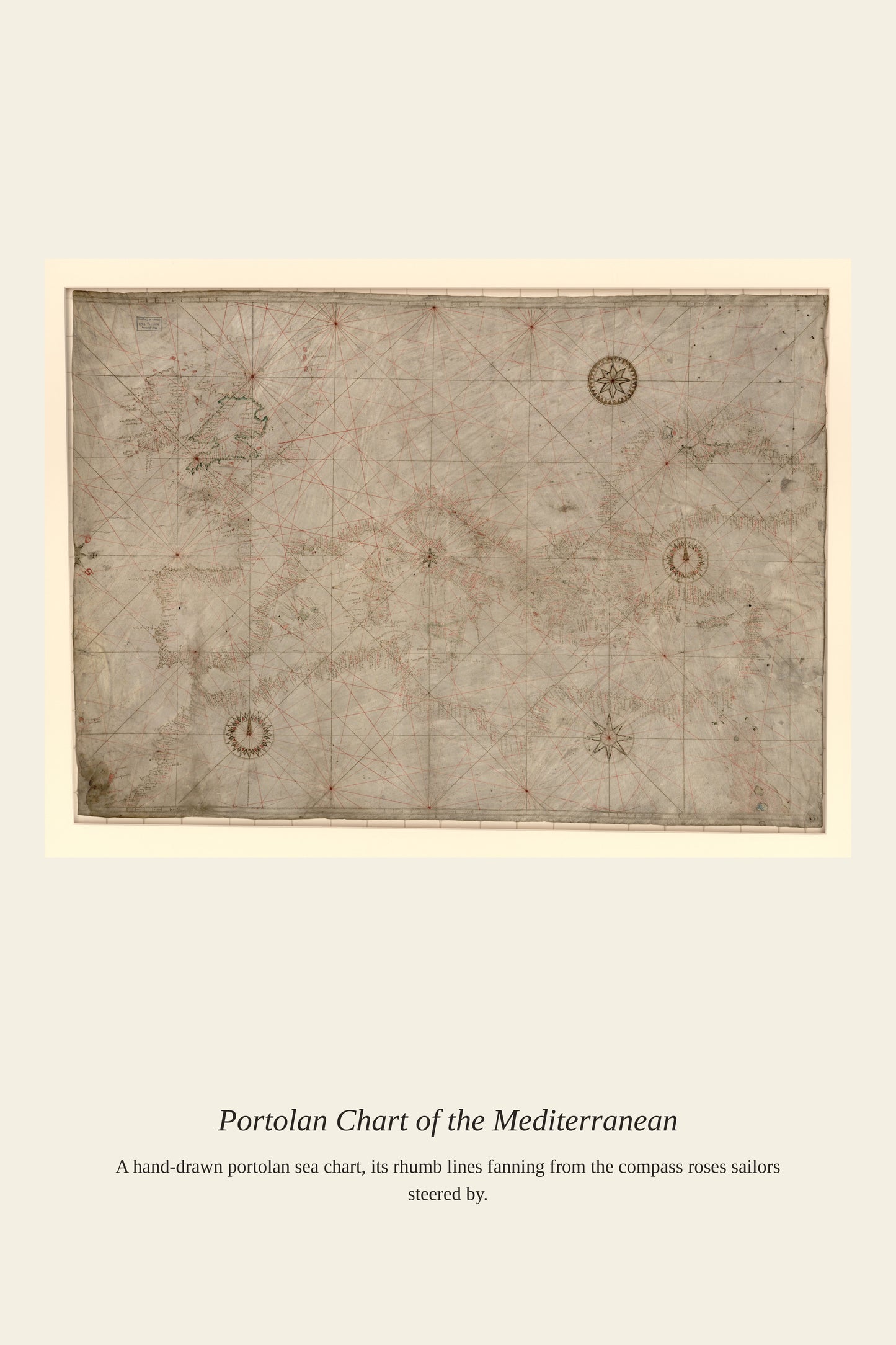
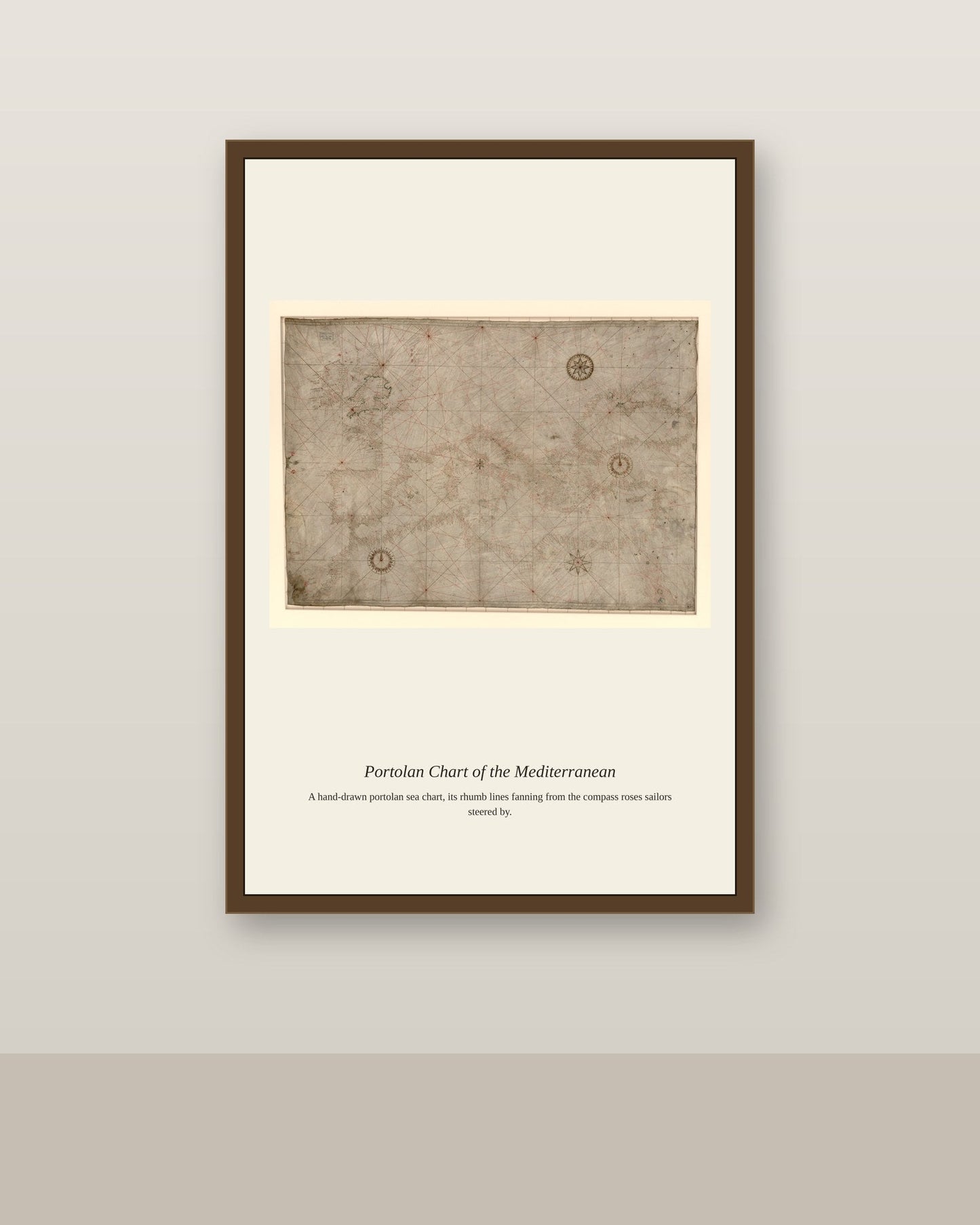
A Mediterranean portolan chart condensed centuries of hard-won maritime knowledge onto a single sheet of vellum, its coastlines refined through generation after generation of chartmakers correcting and adding to the work of their predecessors rather than starting from scratch. The finished charts were as much status objects as working tools, commissioned by wealthy merchants, naval commanders, and rulers who wanted both an accurate navigational aid and a beautiful object worthy of display. Even after printed, mathematically projected maps became widespread, hand-drawn portolan charts remained in active use by working Mediterranean sailors well into the 18th century, valued for their unmatched coastal detail.
Materials & origin
Material: 200 gsm gallery-grade, acid-free fine-art paper (FSC-certified).