✓ Museum-quality archival giclée · ✓ Framed or unframed · ✓ Printed to order · ✓ Buy any 3 prints, save 10%
Couldn't load pickup availability
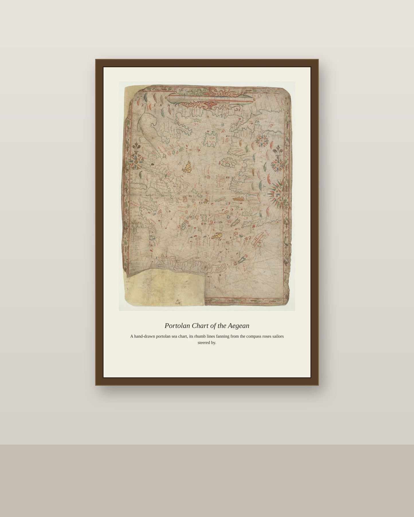
The Aegean Sea, scattered with hundreds of Greek islands between the mainland and the coast of Asia Minor, was one of the most demanding regions for portolan chartmakers to render accurately, requiring them to plot countless small harbors, straits, and shoals that larger-scale Mediterranean charts could only simplify. Sailors moving between Venice, Constantinople, and the ports of the eastern Mediterranean depended on detailed Aegean charts to navigate a sea where a wrong turn could mean running aground on an uncharted islet. The region's dense island geography made it a specialty within the broader portolan tradition, often meriting its own dedicated chart within a larger nautical atlas.
Materials & origin
Material: 200 gsm gallery-grade, acid-free fine-art paper (FSC-certified).