✓ Museum-quality archival giclée · ✓ Framed or unframed · ✓ Printed to order · ✓ Buy any 3 prints, save 10%
Couldn't load pickup availability
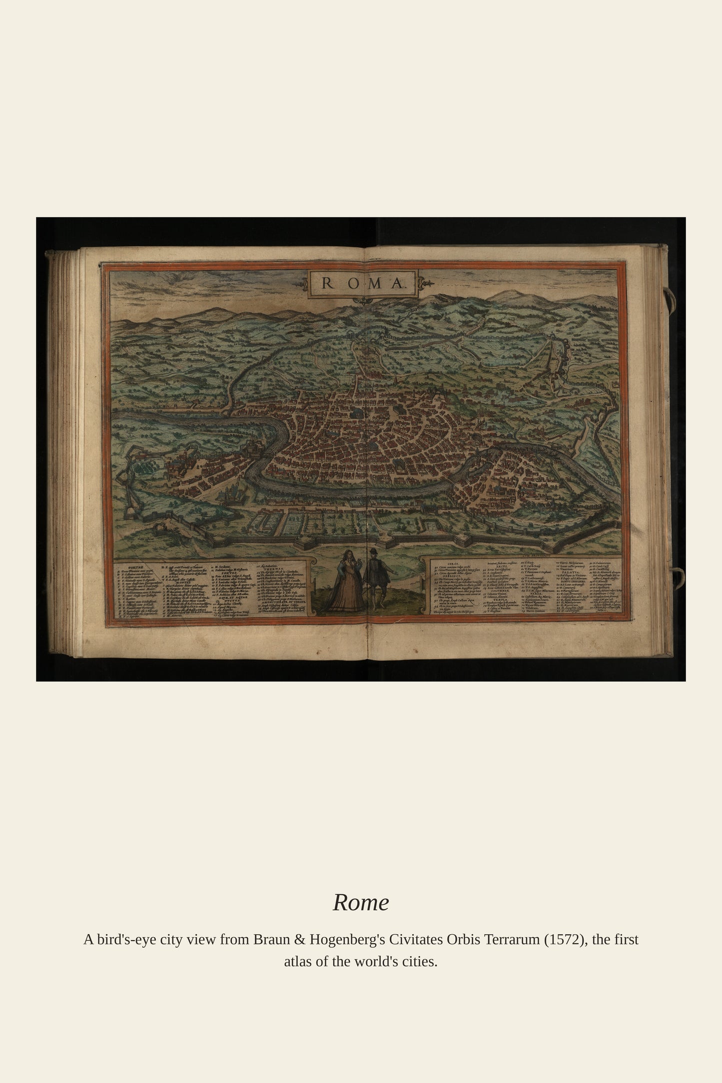
By the time European publishers began producing printed city-view atlases in the 1570s, Rome had already been continuously inhabited for well over two thousand years, its skyline layering ancient ruins like the Colosseum and Pantheon beneath the domes and bell towers of Renaissance churches. As the seat of the Papacy, Rome drew pilgrims, artists, and scholars from across Christendom, making views of the city among the most in-demand prints of the era. Cartographers took pains to label both the ancient monuments and the modern basilicas, letting readers trace how the modern city had grown up around, and often out of, the stones of the classical one.
Materials & origin
Material: 200 gsm gallery-grade, acid-free fine-art paper (FSC-certified).