✓ Museum-quality archival giclée · ✓ Framed or unframed · ✓ Printed to order · ✓ Buy any 3 prints, save 10%
Couldn't load pickup availability
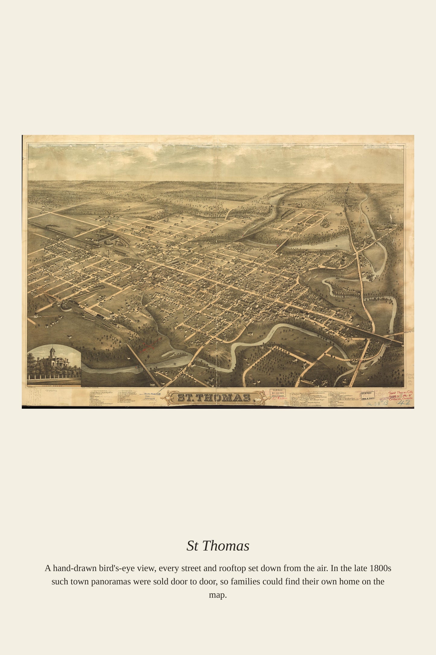
St. Thomas, Ontario, was named for Colonel Thomas Talbot, the eccentric British settler who oversaw the development of much of southwestern Ontario in the early 19th century, with the town itself founded around 1810 by Daniel Rapelje, a descendant of early Dutch settlers of New Amsterdam. The town's location at the crossing of two historic roads made it a natural transportation hub, a role cemented when the first railway between London and Port Stanley arrived in 1856. Over the following decades, as many as twenty-six separate railways would pass through St. Thomas, earning it the nickname "Railway City" and making it one of southwestern Ontario's most important transportation centers by the time this map was made.
Materials & origin
Material: 200 gsm gallery-grade, acid-free fine-art paper (FSC-certified).