


Toledo — Antique City Map Print
Toledo — Antique City Map Print
Couldn't load pickup availability
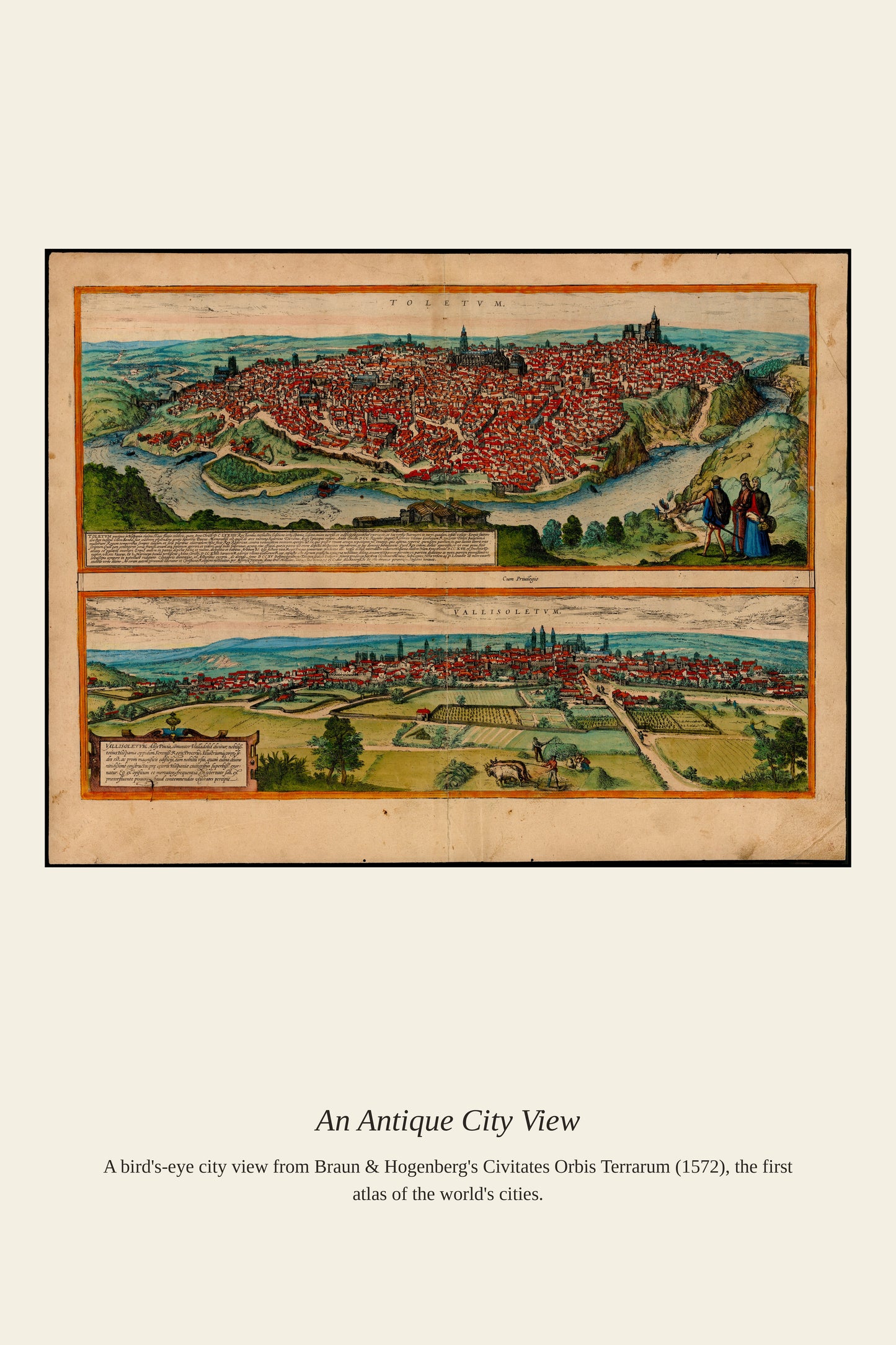
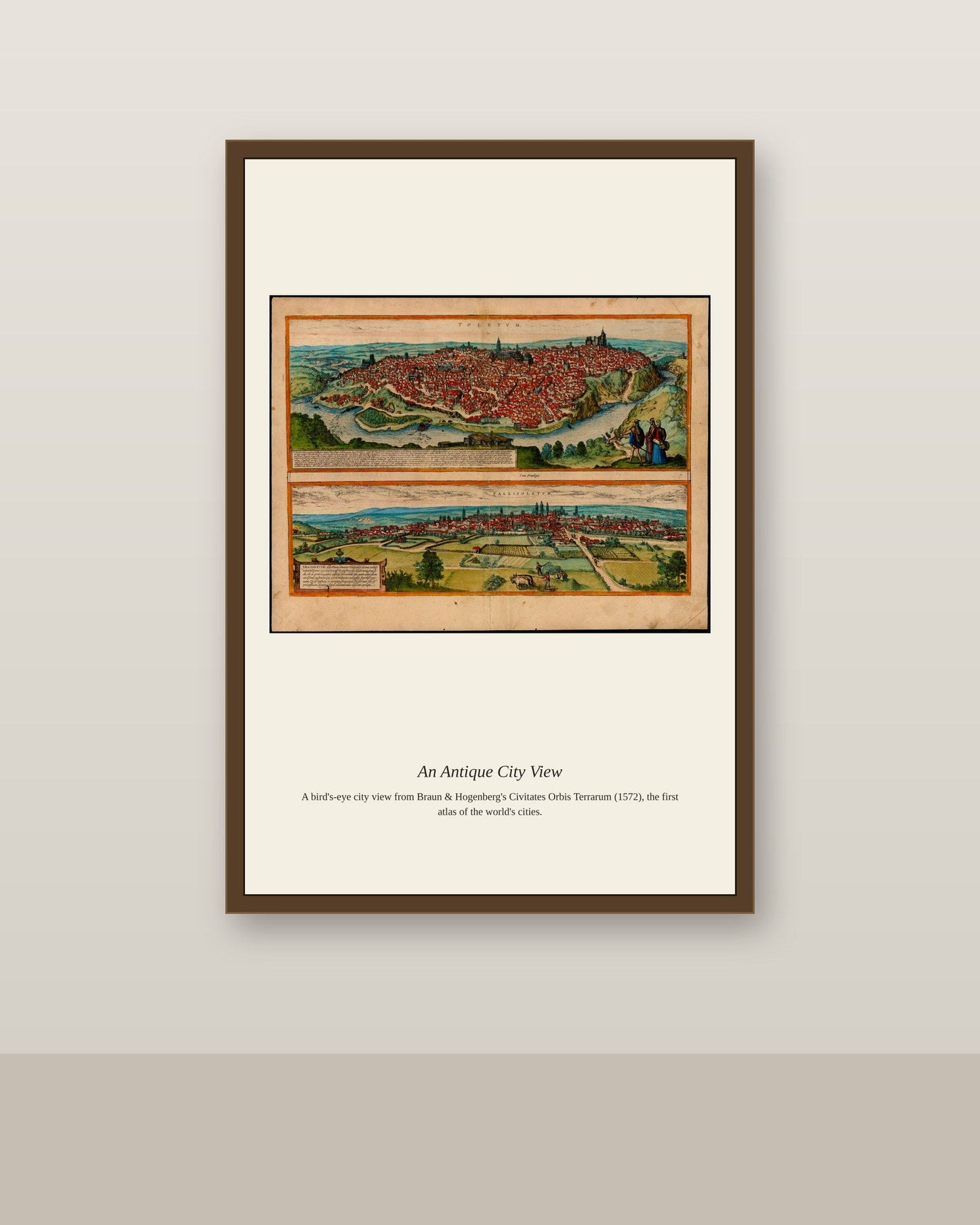
Toledo's position on a rocky gorge cut by the Tagus River made it one of the most naturally fortified cities in Spain, a defensive advantage that helped it serve first as the Visigothic capital and later as a seat of medieval Christian rule. For much of the Middle Ages the city was renowned as a rare place where Christian, Jewish, and Islamic scholars worked side by side, translating classical and Arabic texts that helped reintroduce lost Greek philosophy to Western Europe. Its skyline of cathedral spires and the fortified Alcázar rising above the river made it a favorite subject for the printed city views that European publishers produced from the 1570s onward.
Materials & origin
- Material: 200 gsm gallery-grade, acid-free fine-art paper (FSC-certified).
- Print: Archival giclée, 12-colour printing, smooth matte finish for glare-free display.
- Artwork: Restored from a public-domain original; colour and detail digitally cleaned for large-format print.
- Origin: Made on demand and shipped from the print hub nearest you, cutting transit and waste.
- Framing: Sold unframed; ships rolled in a protective tube.
Share


As Featured In





It landed on my porch in perfect condition two days early. I have been hunting for a good version of Toledo for two years. It makes the stairwell feel like somebody with taste lives here.
Really glad it worked out. Thanks for writing something this specific, it helps other people decide. Best, Ines
This is the rare purchase that looks better in person than online. The seller replied to my question in under a hour.
It fills the space in the breakfast nook the way I hoped it would. ✨
It landed on my porch in perfect condition two days early. The materials are noticeably better than the last two things I ordered online. It went straight into the dining room and has not moved since. It has beaten every expectation I had.
Everyone who walks in asks about it. The shading in Toledo has a depth I never noticed in books. The condition on arrival was flawless, right down to the corners. The reproduction quality makes the price look like a mistake in my favor.